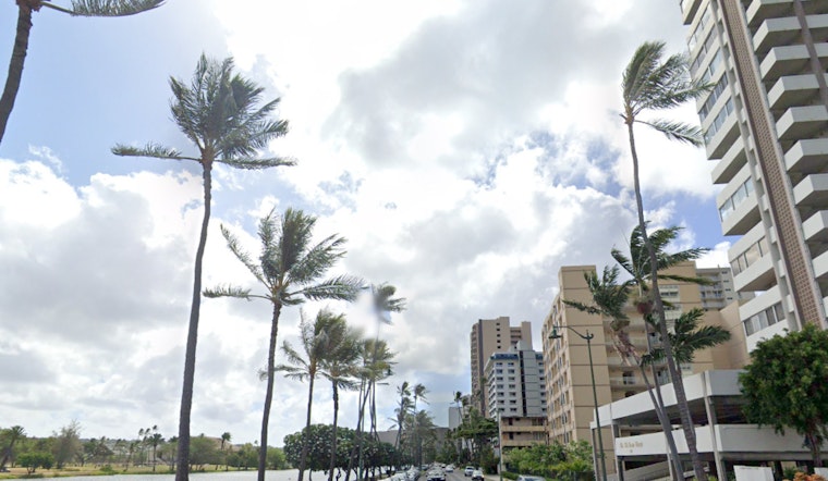
As the weekend starts to unfold, weather forecasters are predicting a change in pace for Honolulu's typically steady trades, according to a report by the National Weather Service in Honolulu. The trades, which regularly breeze through the island chain, are expected to ease up and remain at gentle to moderate levels through tomorrow. Windward and mauka areas should be on the lookout for the usual passing showers, but it seems there's also a chance for heavier downpours and thunderstorms early next week, especially over the eastern islands.
Weather patterns are fluid; a 1027 mb high currently sits a significant distance north-northeast of Honolulu, while a trough of low pressure hangs about 950 miles east-southeast of Hilo. Together, these conditions create moderate trade winds early this morning; however, this may shift due to an approaching front that is predicted to stall and dissipate to the northwest. Although humidity and moisture are expected to peak from Monday through Tuesday with a surge of deeper moisture and the potential for thunderstorms—particularly for the eastern islands—the winds should pick up again by Wednesday as a new high builds to the north, as reported by the National Weather Service.
In terms of visibility for pilots and sailors, folks should anticipate low clouds and scattered showers to persist along the windward slopes of the Big Island through the early hours. The National Weather Service has issued an AIRMET Sierra for mountain obscuration in those areas. Mariners aren't off the hook either, with fresh to strong easterly trades predicted to ease somewhat over the weekend prior to the possible resurgence midweek. Those navigating the waters should be aware that the Small Craft Advisory has been extended through this evening for several channels and bay areas.
Surf enthusiasts should note that north- and west-facing shores will experience a swell in wave heights this weekend, driven by a north-northwest swell. Ocean buoys indicate that fresher, longer-period swells are approaching, surpassing previously estimated levels. A significant swell is forecast, with advisory-level heights expected from today through tomorrow. Meanwhile, south-facing shores will maintain a modest swell, primarily composed of short-period southeast and background south swell energies, as per an update from the National Weather Service.
For beachgoers and residents, a High Surf Advisory is in effect until 6 PM HST Sunday for several coastlines, including Niihau, Kauai Leeward, and the Waianae Coast. With a mix of natural elements in play—from the tranquility of gentle trades to the drama of thunderous weather—it's a time for Hawaiians to stay weather-aware and surf-savvy amidst Mother Nature’s dynamic orchestration.


