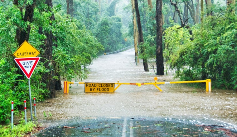
The National Weather Service in Norman, Oklahoma has advised that the region is under a flood watch through Monday afternoon due to anticipated excessive rainfall. The flood watch encompasses western north Texas and the vast majority of Oklahoma, save for its far western and northwest parts. Citizens are advised to be vigilant as the latest weather update points to a possibility of floods owing to continued heavy rain, according to NWS.
According to the update, the concern stems from "Excessive runoff may result in flooding of rivers, creeks, streams, and other low-lying and flood-prone locations." Urban areas and regions with poor drainage are particularly at risk. While forecasts indicate that 2 to 4 inches of rainfall may engulf the region generally, southern and central Oklahoma could bear the brunt with total amounts scaling to 5 to 8 inches.
In light of these predictions, local residents should be prepared to take action should flooding develop, as stated by the NWS. The incessant rainfall has already brought a chill to the area, evidenced by the 61°F temperature paired with dense fog and mist that hinder visibility down to 1.75 miles. Thunderstorms, some potentially severe, are expected to persist through the early afternoon.
Meanwhile, a respite from the downpour is expected with the NWS forecasting sunny conditions slated for Tuesday, with a predicted high hovering near 59 degrees. Possible additional showers and thunderstorms are predicted through the end of the week, with a 40 to 60 percent chance of precipitation.


