Residents across the Charlotte, N.C area are bracing for severe weather conditions today. The National Weather Service (NWS) in Charlotte warns of showers and possibly a thunderstorm, mainly before 3 pm, with a high likelihood of severe storms that could produce heavy rainfall and patchy fog. According to the latest update, the chance of precipitation stands at 90%, with new rainfall amounts between 1 and 2 inches possible.
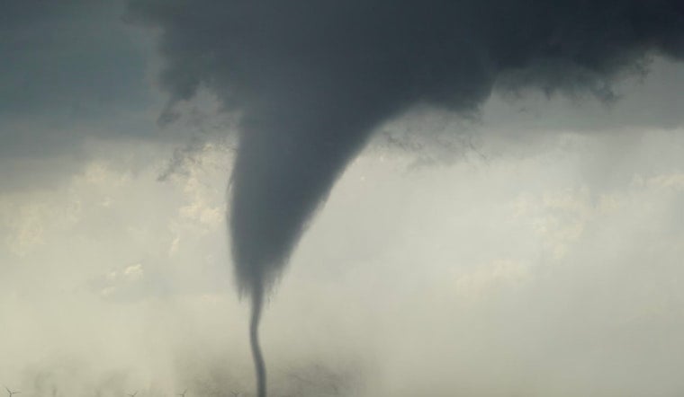
A Tornado Watch is also in effect until 1 PM EST this afternoon for several areas, including northeast Georgia, Piedmont North Carolina, western North Carolina, and Upstate South Carolina, as per the NWS's advisory. The primary threats from these strong to severe thunderstorms involve damaging wind gusts, but there exists a potential for isolated tornadoes, as well.
Tonight's forecast predicts mostly cloudy skies that will gradually clear overnight. Temperatures will drop to a low of around 44°F. Winds will come from the west-southwest at 5 to 9 mph, with gusts reaching up to 23 mph.
Looking ahead to the week, the forecast indicates a sunny start to Monday with a high near 62. As for New Year's Day and beyond, a bright and colder spell is on the horizon with sunny skies and temperatures topping near 55. However, as the night falls on Wednesday, residents should prepare for the mercury to drop to around 31 degrees, creating a chilled end to the holiday festivities.
Despite a rough start to the week, no hazardous weather is expected before the weekend. While early days may call for caution, the later part of the week promises calmer, cooler weather to kick off 2025.


