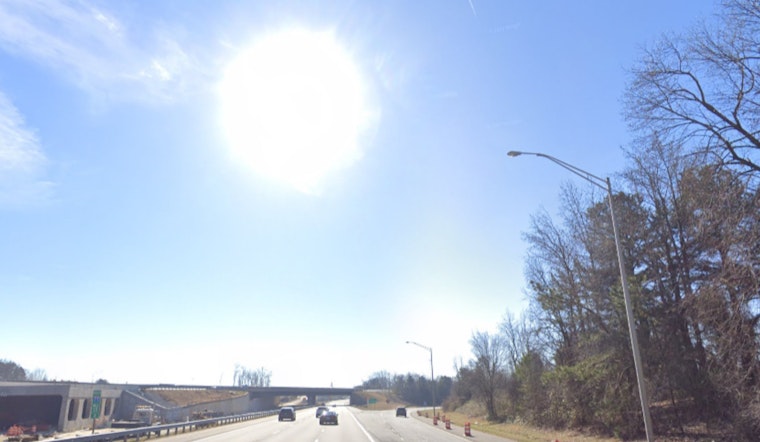
The National Weather Service (NWS) in Charlotte, North Carolina has provided an updated look at what to expect weather-wise heading into the holiday week. Sunny skies are anticipated today, with a calm shift towards the east-northeast wind at around 6 mph later in the morning. Temperatures are slated to reach a comfortable 44 degrees.
As the night draws in, partly cloudy conditions will manifest, keeping the temperature hovering around the 29-degree mark, ushering in calm winds. Looking ahead to Tuesday, the forecast is mostly sunny with a high approaching 53 degrees and a gentle draft from the north. The NWS outlook extends through Christmas and beyond, projecting mostly sunny days with consistent highs in the low 50s and calm winds. Evenings for the next several days should reflect similar patterns—partly cloudy with temperatures at or just above freezing.
In the pre-dawn hours late Monday into early Tuesday, a slight chance of light freezing rain is on the table for parts of the Upstate and southeastern I-77 corridor, as per the Hazardous Weather Outlook issued by the NWS. While any precipitation is expected to be brief and with minimal accumulations, residents should take note, especially travelers who are preparing for the early morning commute.
For those looking further ahead to plan their post-Christmas outings, the upcoming weekend holds a mixed bag. A 30 percent chance of showers after 3 am on Friday night creeps into the picture, with a similar chance of rain continuing into Saturday. The probability of rain increases to 50 percent on Saturday night and persists through Sunday with highs nearing the upper 50s.
Despite these minor weather disturbances, the NWS makes it clear that "Hazardous weather is not expected at this time," ensuring a generally calm and enjoyable holiday period for residents of Piedmont North Carolina and Upstate South Carolina. No calls for weather-related concerns are on the radar, giving travelers and families alike the green light for their holiday plans.


