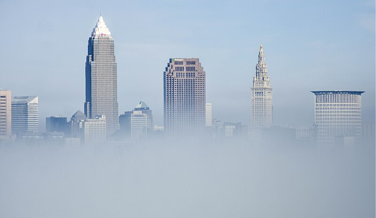
Foggy conditions enveloped much of northern Ohio this morning, triggering advisories cautioning residents about reduced visibility and potential travel disruptions. According to the National Weather Service (NWS) in Cleveland, a Dense Fog Advisory remained in effect until 10 AM EST, warning visibility down to a quarter-mile or less in affected areas. A Special Weather Statement was also in play for much of Northwest Ohio, where patchy dense fog complicated the morning commute.
In addition to fog, the forecast pointed towards another shift in weather patterns as a ridge continues its slow eastward departure. By this afternoon, a warm front is expected to sweep northward through the region, followed by a cold front sweeping in later in the evening. This cold front predicts a drop in temperature, with highs anticipated to dip from the 50s down to mid to upper 30s by Tuesday morning. Despite the chill, a brief respite is predicted with a ridge building from the Lower Ohio Valley, promising calmer conditions until another cold front makes its way by Wednesday.
Precipitation-wise, Ohioans have their eyes skyward as the forecast calls for a steady march of rain across the region. "Widespread rain, steady to heavy at times, is expected to overspread our region generally from southwest to northeast from mid-morning through this afternoon," as reported by the NWS Cleveland. This rain is part of a more extensive system tapping into Gulf of Mexico moisture, leading to rainfall totals forecasted between 0.25" to 0.50". Fortunately for the waterlogged, rain is set to cease swiftly this evening into the early hours of Tuesday as stabilizing subsidence follows the cold front's passage.
For mariners, the story was a bit murkier, quite literally, as areas of dense fog led to a Marine Dense Fog Advisory for parts of Lake Erie. Visibility challenges were expected to last at least through this morning, with the potential extension of the advisory if dew points remained high. In terms of wind, gusty conditions were brewing as well, with south-southeasterly winds estimated around 10 to 20 knots and could gust up to 30 knots later in the day, as reported by NWS Cleveland. Small Craft Advisories were issued in response, alerting boaters from Vermilion to Ripley, NY, to anticipate rougher conditions starting this afternoon through Tuesday evening.
As for the days ahead, Ohioans will need to keep their umbrellas and snow gear handy. The short-term forecast expects quiet weather momentarily before another unsettled pattern emerges, with a possible rain and wet snow mix for parts of Northeast Ohio and Northwest Pennsylvania by Wednesday. There's a hint of lake-effect snow Wednesday night into Thursday, and though it may be fleeting, residents in higher elevations could see a couple of inches accumulate. The temperature trend also leans towards the cooler side, with a gradual decline expected, nudging the highs down to the 30s and lows to the mid-20s by Thursday night.


.jpg)