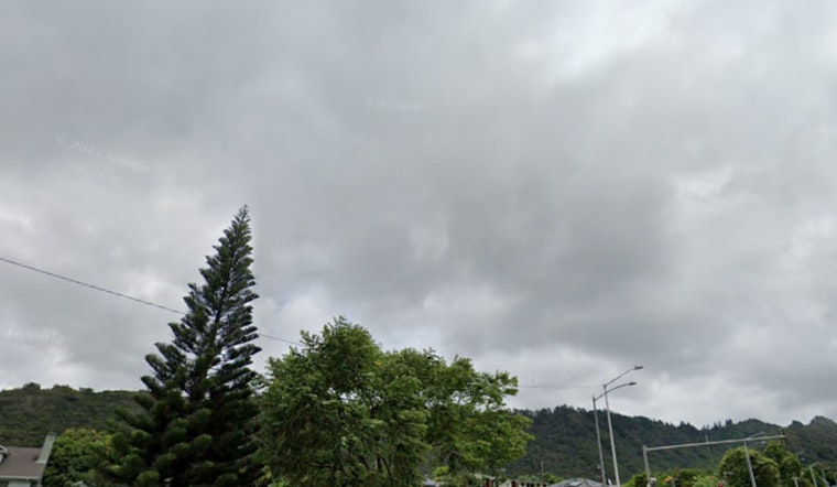
Honolulu is preparing for more rainfall as a front moves in, bringing southerly winds and increased moisture. The National Weather Service in Honolulu expects the front to reach Kauai later today and weaken near Oahu by tonight into Friday. After the front passes, north-northeast winds will pick up across Kauai this afternoon, with a shift to east-northeast winds on Friday.
Rain is expected to increase, especially on the western side of the state, as a front moves in from the northwest. The National Weather Service reported a band of low clouds and showers west of Kauai. "High-resolution model reflectivities seem to be initializing well and depict this band becoming active with moderate to heavy showers through the morning hours." Thunderstorms are possible near Kauai but unlikely elsewhere. As the front weakens near Oahu, gusty north winds will follow Thursday and Thursday night. Light trade winds will return over the weekend, with stronger trades possible early next week.
A weather front is moving through, affecting both the sky and the sea. The National Weather Service says, "SHRA and low cigs will be possible particularly along the western end of the state," with possible lower visibility in showers near Kauai. On the water, the front has brought winds of 35 knots and gusts up to 45 knots, leading to a Small Craft Advisory around Kauai and Oahu. Surf will be higher along northern and western shores, but not quite reaching High Surf Advisory levels. A new NNW swell is expected by the weekend, while a south swell is fading.


