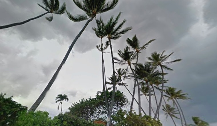
Oahu residents should prepare for strengthening easterly trade winds this week, with the potential for wind advisories in some areas. According to the National Weather Service, the winds will increase, particularly in the windward and mountain regions, and be accompanied by passing showers. An upper-level low is expected to bring tropical moisture, especially affecting the Big Island and Maui by the weekend.
The trade winds, initially moderate, are expected to strengthen by Tuesday, reaching breezy to windy levels. The winds will peak on Wednesday, with advisory-level gusts possible on Mauna Kea and Mauna Loa. The National Weather Service forecast also suggests that a wind advisory could be issued Tuesday night for gustier locations.
Despite the stronger winds, critical fire weather conditions are not anticipated. The combination of elevated winds and humidity levels is not expected to pose a significant fire risk. In addition, Small Craft Advisories will likely be issued for waters near Maui County and the Big Island starting Monday, with the possibility of extending to other areas soon after.
On the ocean front, north-northwest swells are expected to increase surf along the north and west shores of Oahu early in the week, reaching advisory levels before decreasing by Friday. South-facing shores will see a decline in the south swell, returning to typical conditions. However, eastern shores will experience rising surf due to strengthening trade winds, which could increase rip currents.
While no immediate warnings or advisories are in effect, the weather could change as the week progresses.


