San Diegans experienced a brief spike in temperatures Wednesday, surpassing the coastal norm and hitting lower to mid 80s in some valleys and inland areas, a report from NWS San Diego indicated. This warm surge is expected to peak for the week, with the warmth stemming from the Santa Ana winds that have been gusting through the region. These winds, which reached up to 50 mph, with isolated gusts touching the 60 mph mark, are projected to taper off into the evening.
However, despite the warm temperatures inland, coastal areas should anticipate a slightly cooler Thursday, with highs dropping to between 67 to 76 degrees—subtle evidence that the Santa Ana winds are indeed relenting. Additionally, humidity levels have dropped precipitously in the inland valleys with recordings around a stark 10 percent, posing potential fire weather concerns. A "weak onshore flow," as mentioned by NWS San Diego, will instigate a cooling trend as it gently sweeps inland over the approaching weekend.
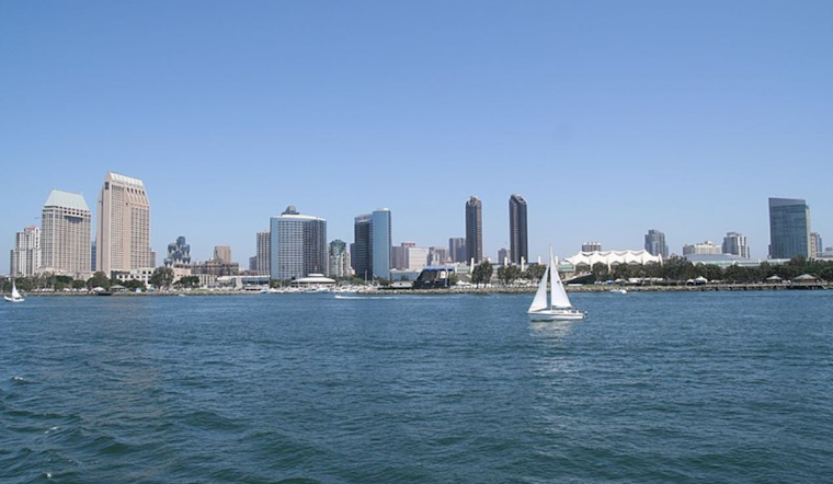
Looking toward the water, maritime and beach conditions have held steady without any immediate concerns through Sunday, as reported by NWS San Diego. Nonetheless, attention shifts toward the weekend when a large, long-period westerly swell is forecasted to stir up comparatively large surf conditions with possible sets exceeding 10 feet by Sunday. This swell marks the imminent arrival of not just bigger waves but the potential for increased coastal hazards.
Freshening the mix next week, a nimble low pressure system is poised to dash inland through California, which could result in strong gusty west winds, particularly impacting the mountains and deserts, and even presenting a chance of showers, as per a statement obtained by NWS San Diego. They note a measurable uptick in precipitation probability for Tuesday and Tuesday night has "increased to around 35 percent." High temperatures for lands nearer the coast for the tail end of December could dictate a small deviation below the seasonal average, while the lower deserts maintain their grip on warmth, hovering around 5 degrees above average.
Residents and visitors within the sway of these weather developments will do well to keep abreast of updates and advisories, as fluctuating conditions could affect outdoor planning, travel, and, in particular, any fire risk management, the weather service advises.


.jpg)