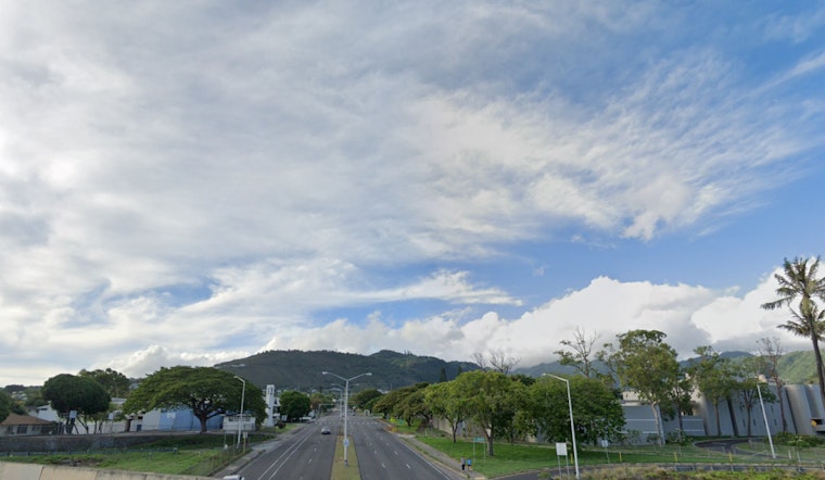
Honolulu is poised for a peaceful weather stretch, with stable and dry conditions forecasted as we lean into the end of the year, according to the National Weather Service - Honolulu. Expect a brief increase in windward showers today and again on Sunday night into Monday as two fronts make their approach—but not much else in the way of precipitation.
The calm will be briefly punctuated by light winds ahead of these fronts, setting the stage for typical land and sea breezes, afternoon cloudiness, and some isolated showers, mainly in interior and leeward locales, as per the NWS. A slight uptick in moisture will present itself in parts of Kauai and Oahu as the front weakens and trade winds make a short-lived comeback, followed by a settled pattern across the state with minimal rain expected, despite the fronts stirring nearby.
Aviators can anticipate predominantly VFR conditions but should keep an eye out for possible brief MVFR conditions rising from those anticipated lighter showers. The marine outlook holds steady as well; gentle to variable winds are to be the norm this weekend, punctuated by stronger easterly trades kicking in early next week.
Surfers should take note of the continuing High Surf Warning, in effect until tomorrow evening, for several north and west shores. The waves aren't subsiding anytime soon, and a swell predicted on Sunday could bring waves exceeding 18 feet, according to the ECMWF model. Despite this guidance, even light and variable winds will be stirring up seas that surpass the 10-foot Small Craft Advisory threshold for exposed waters.
On land, while the weather remains compliant, firefighters caught a break as no critical fire conditions are anticipated within the week. This is owing to lighter winds paired with relative humidity levels maintaining above 45 percent, which means conditions will not be ripe for any severe fires to ignite, even as trade winds are expected to gain strength as we head into the following week.


