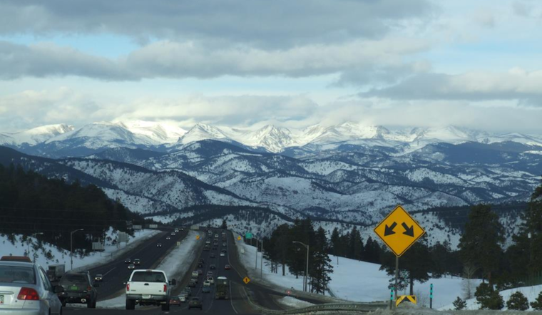
Heading to the slopes this MLK weekend might require an extra layer of patience and snow chains. The Colorado Department of Transportation has put out a travel advisory in anticipation of a significant winter storm and Arctic temperatures expected to hit the Interstate 70 Mountain Corridor this coming Friday evening, extending well into Saturday morning, with potential lingering effects into Sunday. According to CDOT, drivers should be ready for "significant delays and hazardous driving conditions," including the likely formation of treacherous icy patches on the roads.
The specifics are looking dicey, snow will start to accumulate Friday afternoon, worsening overnight into Saturday. While the CDOT anticipates that the initial warmth of the pavement may quickly melt some of the snow on lower elevations, the plunging temperatures will just as swiftly turn it to ice. Travelers can expect reduced visibility due to blowing snow across the plains Friday evening, although the winds are expected to subside later that night.
Moving into the weekend, roads are predicted to stay slick, with intermittent flurries continuing throughout Saturday and Sunday. The CDOT assures that efforts will be made to plow and treat the roadways. However, "the extremely low temperatures will slow down the effectiveness of deicing products," as per CDOT.
Traffic is expected to ramp up Friday afternoon and again in the evening as a "double peak" pattern kicks in with a surge toward the mountains in the morning and another after business hours. Conditions on Saturday morning and evening may make it go from bad to worse, with usual bottlenecks at Floyd Hill and Georgetown experiencing more sluggish traffic. For those planning to return on Sunday or even Monday, be prepared for peak midday volumes on Sunday and additional delays from continued snow showers on Monday.


