Cleveland's been hit with a fresh wave of weather woes that might have residents reminiscing about those clear, chill days that January forgot. The National Weather Service in Cleveland has given us the lowdown on what to expect: rain, rumbling skies, and perhaps a dusting of snow - business as usual in this part of Ohio.
The scoop from the NWS forecast paints a picture of low pressure traipsing northeastward across the region today, triggering a curtain of rain that's predicted to blanket the area by late morning. Although thunder wasn't officially on the agenda, forecasters wouldn't be shocked if it made a cameo. As the front moves on its merry way this afternoon, it's expected to pull back the rain blanket with it, making room for a colder air that'll usher in a swift change from rain to snow tonight, potentially at the lively clip of 1 inch per hour - however briefly.
Weather impact is set to be more of a nuisance than a nightmare, with some mild river rises and the potential for minor flooding, particularly in snow-prone Northeast Ohio and Northwest Pennsylvania. They say ice jams could happen, but with river ice more feeble and frail these days, the risk is on the lower end. Post-rain, Saturday’s looking up with high pressure, bringing mostly sunny skies though keeping a lid on the thermometer.
Come Sunday, however, we're in for a "glancing blow" of precipitation, thanks to a Great Lakes clipper system - a mix of rain, snow, and temperatures warming up to the mid-upper 40s. Brief, relatively uneventful showers could pop up come Monday with a cold front gliding through, but no dramatic wintry tales there.
Looking further ahead in the week, the weather plot thickens with forecasts flirting with a more active pattern, including a surge in temperatures by midweek. An upper-level ridge is expected to start playing a cross-country game, with the speculative endgame being rain and potentially strong storms on Thursday. As is nature's way, forecasts remain somewhat elusive, with uncertainty particularly hinged on temperatures and thunderstorms, though the possibility for a Thursday warmer than 60 degrees is more yes than no.
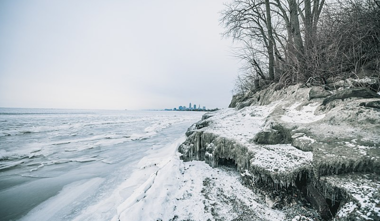
As for the aquatic folk, NWS marine forecasts are taking a sabbatical due to extensive ice cover diminishing the demand for advisories. Nevertheless, the lake's surface will see its moments with northerly winds post-cold front tonight, a calm spell, and then some hustle again come Sunday onward as Mother Nature steers the wind vane. And so, the cyclical dance of Cleveland weather continues, with or without a backdrop of grey clouds and wet pavements.


.jpg)