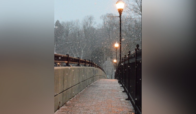
Residents in the Las Vegas area should brace for a wintry mix, as the National Weather Service Las Vegas anticipates mountain snow and light valley rain starting today. Those planning to travel on mountainous routes should prepare for potential disruptions, which may continue into next week. However, a drying trend is expected to bring calmer weather by midweek.
The anticipated weather takes a dramatic turn as the first winter system of the season ushers in wintry precipitation later today. For those in the higher elevations, it's time to swap out the sunglasses for snow boots—with the Southwestern Great Basin bracing for increased snowfall "between 5 and 10 inches above 7000 feet and between 2 and 5 inches above 4500 feet from 4pm PST today through 4pm PST Monday," the NWS warns. Motorists, especially, should take heed of the elevated risk along certain routes like State Route 168 and the Goldfield Summit along Highway 95.
Las Vegas Valley itself is also on the watchlist, albeit for lesser snowfall amounts. "Snowfall amounts are unlikely to cause impacts aside from those as a result of snow-distracted drivers, with less than 0.5 inch expected," detailed the NWS report. Still, the combination of precipitation and accumulated roadway residue could create hazardous driving condtions. Travelers are urged to be extra cautious and check the weather forecast before embarking on any trips during this period.
As for air travel, the NWS forecasts a relatively stable day ahead before the weather shifts. "Light winds and clouds at or above 10Kft before conditions start to deteriorate with lowering ceilings and increasing precipitation chances Sunday morning," they forecast. The deterioration will spread across southeast California and southwest Nevada into tomorrow, with broad precipitation and obscured terrains becoming a significant concern for pilots and travelers alike. In light of this, spotters across the region are encouraged to report significant weather or impacts according to standard operating procedures.
Lingering precipitation chances will hang over the area heading into Tuesday for those situated south an east of the Interstate 15 corridor. However, the proverbial silver lining arrives as the forecast points to "a reprieve from unsettled weather as we head into the weekend with temperatures returning to more seasonal values and precipitation chances dropping below 10%," per the NWS statement. After being arm wrestling with the cold and moisture, Las Vegans can anticipate the return of clearer skies come next Saturday.


