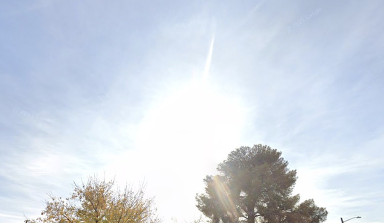
Las Vegas is expected to return to seasonal weather as the brief period of gusty northern winds is forecast to ease over the coming weekend. The National Weather Service's Las Vegas forecast indicates clear skies and winds easing up after a few days of brisk conditions along the Colorado River.
Wednesday night featured clear skies, allowing temperatures to drop near or below freezing, except in the lower elevations of the Mojave Desert and the urban areas of Las Vegas, where it stayed slightly warmer. "Northerly winds will remain gusty near Laughlin and Lake Mohave today, before easing for the first time in several days by Thursday," according to the NWS report. The area also awaits a high-pressure ridge expected to augment in the Pacific Northwest and Great Basin.
Looking toward the end of the week, forecasts suggest a longwave trough may develop over much of the lower 48 states. The uncertainty centers on whether an approaching shortwave trough will be strong enough to push colder air westward across the Rockies, with models offering mixed predictions at this stage. A slight cooling trend, potentially a five-degree drop by Tuesday, could bring the season's first freeze to areas not yet experiencing such cold this year.
The aviation outlook for Harry Reid International and surrounding airfields suggests varied wind patterns, with northeasterly gusts up to 20 knots expected to subside by Thursday morning. "Light and variable winds will pick up and swing around to the northeast later this morning," the NWS advises for pilots in the area. Meanwhile, up in the north, winds will tend to remain gentle, not exceeding 10 knots, with a general trend following orderly diurnal shifts.
The NWS urges spotters to stay vigilant and report any significant weather events or impacts according to standard procedures. The current calm may be temporary, with a more active period expected as the weekend approaches.


