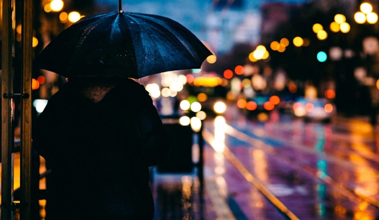
The city of Philadelphia is anticipating a wet end to the week. Today’s forecast shows rain setting in after 11am, carrying a hefty 90% chance of precipitation and potential new rainfall amounts ranging between a quarter and half an inch. Philadelphians can expect a high near 51 degrees with a gentle southwest wind stirring up gusts as high as 20 mph. An overcast sky and considerable humidity at 89% paint a dreary picture for the city's current weather outlook, according to the National Weather Service.
As night falls, the rainfall is predicted to continue, mainly before 10pm with an 80% chance of precipitation and additional rainfall potentially accumulating between a tenth and a quarter of an inch. The temperature is likely to dip to a low around 37 degrees. The southwest wind, which is expected to shift northwest after midnight, may reach speeds of 5 to 10 mph. For more detailed information and updates, residents can visit the National Weather Service website.
Looking ahead to the weekend, Saturday will bring a transition from mostly cloudy skies early on to a clearer, sunnier afternoon with a high around 41 degrees. Winds will persist from the north at 10 to 15 mph. The clear skies are, however, short-lived as increasing clouds on Saturday night forecast a significant drop in temperature, with lows hovering around 22 degrees.
Going into Sunday, Philadelphia residents should not hope for much sunshine, as the day is set to be cloudy throughout, with a high nearing 42 degrees. The east wind will change direction in the afternoon, coming from the south at speeds of 5 to 10 mph. The cloudy theme is expected to continue into Sunday night, with a low resting around 36. With an uncertain forecast later in the week, there's a further chance of rain on Wednesday and Thursday, with Wednesday night seeing a 60% likelihood and Thursday 50% chance of wet weather. Highs are slated to be in the mid-to-high 40s, rising up to near 59 degrees by Thursday.


