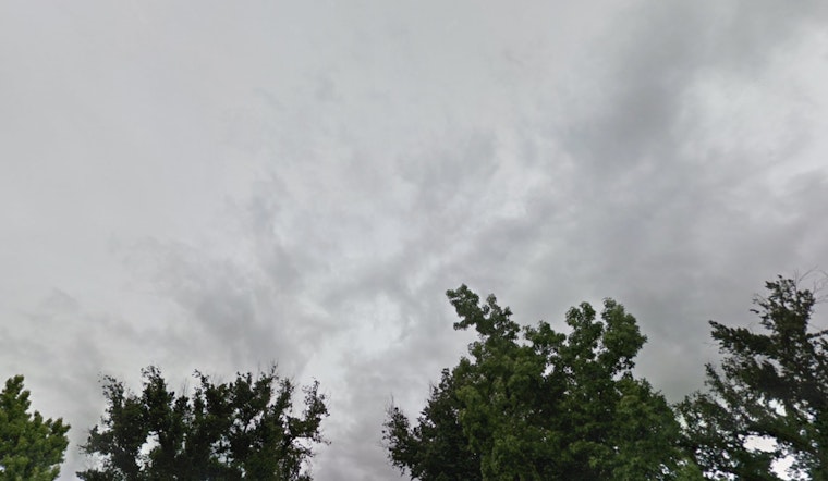
The National Weather Service in Sacramento has issued an advisory indicating that the region will experience a variety of severe weather conditions today. According to their Area Forecast Discussion, we're expecting "widespread precipitation, moderate to heavy mountain snow, gusty southerly winds, and isolated thunderstorms throughout the day." Those navigating through the area should prepare for a significant dip in visibility and potential travel disruptions.
Early radar activity already indicated showers, which are trailing a fast-moving weather system that will spread across the area within hours. Rainfall predictions for the northern Sacramento Valley are about 0.5 to 1 inch, with heavier accumulations, 1 to 2 inches, forecast for the foothills and lower mountain elevations. Isolated thunderstorms have a 10 to 20% chance of happening, and if they do, they might affect local rainfall. However, the rain is expected to stay below the level needed to cause debris flows in burned areas.
In terms of snowfall, the levels have ticked up slightly in the latest update, prompting a Winter Storm Warning, which has been in effect from 7 a.m.to 10 p.m. PST, for areas above 5500 ft in the Northern Sierra Nevada and southern Cascades. Travelers in these areas should be mindful of potential travel delays and hazardous conditions including road closures, chain controls, and significantly reduced visibility.
Looking ahead, while a few mountain shoring and snow showers might persist into Saturday morning, the forecast suggests a return to drier weather over the weekend. And extending further into next week, residents can anticipate breezy to windy conditions, particularly due to a north to east wind on Tuesday. Throughout the extended period, the temperatures are projected to remain above normal, with Central Valley readings hitting the 60s, and 40s to lower 60s in the mountains and foothills.
For aviation, the NWS warns of widespread MVFR (Marginal Visual Flight Rules) conditions and some areas of IFR (Instrument Flight Rules) until 01z Saturday in the Valley/Delta due to rain. After that, expect local MVFR conditions until 17z Saturday. Pilots should watch for isolated thunderstorms between 20z and 03z. Winds at the surface could reach 15-20 knots in some places. Mountain areas will see widespread MVFR/IFR after 17z, with the possibility of localized LIFR (Low Instrument Flight Rules) conditions, especially north of I-80, which could make it hard to see the terrain.


