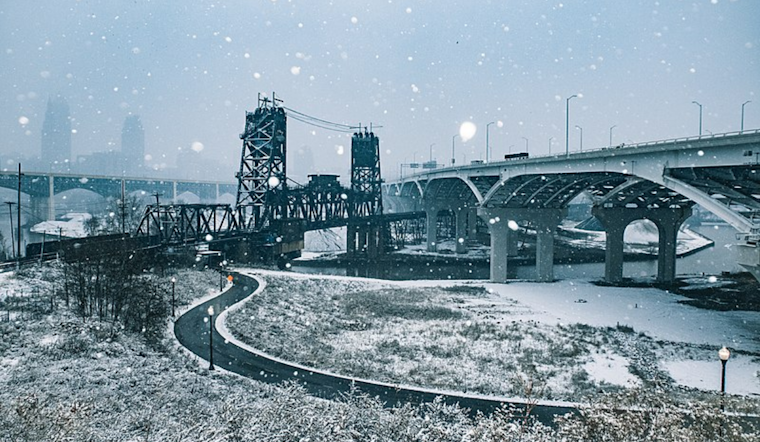
The National Weather Service in Cleveland has issued a report indicating a cold snap accompanied by winter weather conditions, impacting travel and daily life across the Ohio Valley and Great Lakes region. According to the NWS Area Forecast Discussion, lake effect snow formed a new band early Monday morning, affecting the Cleveland metro area just in time for the morning commute. Winter weather advisories and warnings were in place until 10 AM for several counties, including Geauga, Cuyahoga, Lake, Ashtabula, and Crawford, PA, due to residual travel impacts from icy conditions and potential black ice on roadways.
The NWS discussion noted that winds shifting to the west disrupted snow showers, reducing accumulation. However, travel was still affected "between the icy roads and some marginal blowing snow," prompting authorities to maintain the advisories. Single-digit temperatures and sub-zero wind chills led to a Cold Weather Advisory being extended until Wednesday morning for the region. Erie County, PA, experienced on-and-off snow showers all day, with an advisory maintained due to the westerly flow affecting the area.
By Tuesday, the influence of a surface trough is expected to bring additional scattered snow showers across most of the forecast area, with an increase in probabilities for NW PA, where near advisory level snow may accumulate through Tuesday night. The report adds that despite a slight temperature rise, cold conditions will persist throughout Tuesday.
The area also wrestles with a deep freeze as the arctic surface high pressure intensifies, pushing 850 mb temperatures to around -25 C. "This will allow the coldest surge of air to cross the region, with 850 mb temps bottoming out around -25 C," the NWS statement said. The prolonged cold weather may prompt an upgrade to Extreme Cold Warnings for those areas affected. Warmer temperatures are not expected until the weekend, heralding the end of a prolonged period of exceptionally cold weather.
For Mariners, westerly winds will strengthen due to the incoming arctic air, prompting rapid ice growth on the lake and effectively stopping the issuance of Small Craft Advisories due to extensive ice coverage. Meanwhile, the cold snap's impact extends into the record books with forecasted lows threatening to approach or break records for January 22 set as far back as 1936 in cities across the region.


.jpg)