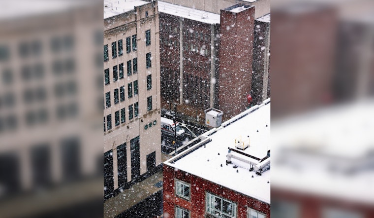
Philadelphia residents woke up to a brisk 20°F morning with only a few clouds in the sky. The forecast predicts increasing cloud cover, with a high near 36°F expected later today. Winds are expected to remain gentle, shifting from northeast to southeast as the day progresses. By evening, the city may experience a mix of light snow and sleet before a possible transition to rain, with a 40% chance of precipitation and little to no accumulation anticipated, according to the National Weather Service.
The current chill factor places us at a wind chill of 9°F; however, this is expected to moderate with tonight's low hovering around the freezing mark. A calm wind will follow, alleviating the biting conditions we've experienced in the early hours of the morning. Still, Philadelphians should prepare for a chilly and potentially slippery evening commute.
According to the NWS, Philadelphia, the week ahead brings a brief respite with partly sunny skies and highs reaching into the low 50s by tomorrow. The mild weather is poised to continue into Tuesday, offering mostly sunny conditions, before another round of precipitation enters the midweek forecast. Residents should stay informed as the chance of snow on Wednesday is pegged at 50%.
Looking further into the week, Wednesday night observers a significant shift with a 90% chance of rain, snow, and sleet, transitioning to all rain after 1 am. Conditions appear set to clear by Thursday afternoon, following a bout of morning rain where the chance of precipitation stands at 80%. The fluctuating Philadelphia weather appears to culminate in a mostly sunny Friday, with next weekend potentially offering a mix of rain and snow with a high near 42°F and a 40% chance of precipitation.


