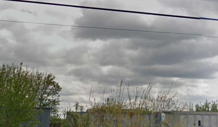
The City of Brotherly Love is set to experience a series of intense weather conditions, as the National Weather Service in Philadelphia has issued a High Wind Warning effective from 10 a.m. today until 6 p.m. EST tomorrow. The warning forecasts west winds ramping up to 25 to 35 mph with potential gusts reaching between 50 and 60 mph across parts of northern Delaware, central and southern New Jersey, and southeast Pennsylvania. National Weather Service Philadelphia advises residents to brace for the incoming storm.
The advisory comes amid concerns of damaging winds powerful enough to knock down trees and power lines, with widespread power outages anticipated. Residents are advised to remain on lower levels of buildings and stay away from windows. Drivers, especially of high-profile vehicles, have been warned of difficult travel conditions. In addition to the wind, the region is also coping with light drizzle and fog, with humidity levels reaching up to 96%, potentially compromising visibility and, wet soils combined with the high winds, could result in more extensive tree damage.
In terms of temperature, Philadelphia is expected to see a high near 58 degrees today with a shift to much colder weather as the front moves through. By tomorrow, also known as Washington's Birthday, the high is anticipated to drop near 36 degrees with windy conditions persisting. This High Wind Warning notably coincides with the potential heavy rainfall today, which could contribute to between a half and three quarters of an inch in new precipitation.
As we advance into the week, the weather outlook doesn't ease up. Following the windy and potentially wet start to the week, snowfall is likely by Wednesday night into Thursday, with the chance of precipitation at around 60%. "Widespread power outages are expected," states the National Weather Service warning, "Travel will be difficult, especially for high profile vehicles." Residents should also be aware of rapidly dropping temperatures which could lead to wind chills in the teens, meaning that the potential for power outages combined with the cold, could exacerbate the severity of the weather's impact on the area.
Those living within the high wind warning zones are encouraged to take necessary precautions ahead of time. The NWS advises against unnecessary travel and recommends that people secure outdoor objects that could be blown away or cause damage. As the city gears up to confront these harsh weather conditions, citizens are reminded to stay informed and to prioritize safety during this high wind event.


