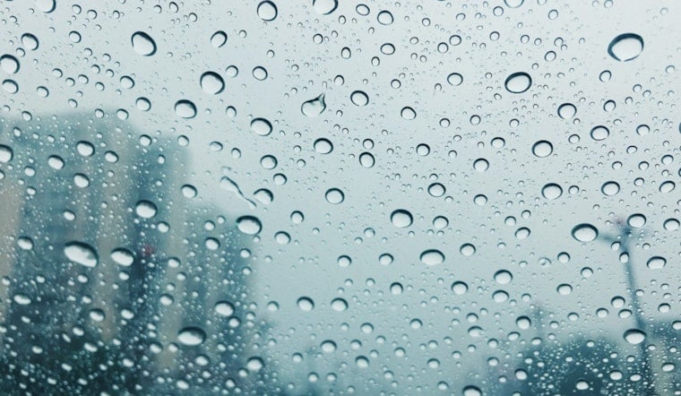
Portland residents, brace yourselves for a series of wet and windy days ahead. The National Weather Service in Portland forecasts a high likelihood of showers and consistent rain through the weekend into next week, promising to drench the city and potentially swell its rivers. According to their latest update, the chance of precipitation begins today at 70% and ramps up to a solid 100% certainty of rain tonight.
Precipitation amounts ranging from a tenth to three-quarters of an inch are possible today, with temperatures hovering around the upper 50s. The nighttime forecast suggests an increasing intensity, with new rainfall amounts between a half and three quarters of an inch, along with strong south-southwest breezes gusting as high as 31 mph. In the coming days, rains continue unabated, with predicted totals suggesting up to two inches of accumulation.
River inundations and urban flooding concerns have been raised by the National Weather Service, as heavy rainfall combined with snowmelt in the Cascades enhances the risk of landslides. Their recent Hydrologic Outlook bulletin warns of river levels rising, particularly those draining from the Willapa Hills and Oregon Coast Range. While widespread river flooding is not immediately expected, officials are closely monitoring the situation for any changes in the weather pattern that could increase risks.
As conditions evolve, the threat of urban flooding looms for low-lying areas, and an "enhanced risk of landslides" has been cited by forecasters. By late tomorrow or early Monday, there is a 20-30% possibility that rivers like the Wilson and Grays could reach minor flood stages. The current projection is not anticipating substantial debris flows, since rainfall rates are unlikely to reach critical thresholds over areas scarred by past wildfires. Nonetheless, residents in these regions should stay alert for any potential hazards and continue to track updates from weather authorities.
With steady rainfall imminent, citizens should prepare for the likelihood of wet roads, increased traffic disruptions, and standing water in poor-drainage areas. The National Weather Service advises the public to be vigilant and keep up with the latest forecasts, particularly those seeking river flood information which can be accessed at water.noaa.gov/wfo/pqr.


