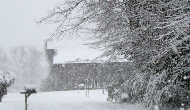
The National Weather Service in Morristown, Tennessee, reports snowy conditions that are expected to continue affecting East Tennessee and Southwest Virginia. A Winter Weather Advisory remains in effect until midnight EST tonight, with total snow accumulations ranging between 1 and 3 inches and potentially higher amounts in elevated regions.
Current conditions detailed by the National Weather Service include fog and mist in Knoxville, with a visibility of 0.75 miles and a temperature standing at 32°F. North winds are mild, around five mph, while the humidity has topped the scale at 100%. Motorists are advised to exercise extra caution, as roads, particularly bridges and overpasses, will likely become slick and hazardous, leading to potentially treacherous Wednesday commutes.
Looking forward, snow showers are predicted to taper off, but a slight chance of flurries may persist between tonight and early Thursday. The National Weather Service alert underscores the risk of continued snowfall into Thursday morning, especially across the higher terrains. The advisory urges residents to slow down and use caution while traveling and reminds them that up-to-date road conditions can be accessed by calling 5 1 1.
As for the rest of the week, temperatures are forecasted to rise modestly, with Friday seeing a sunny sky and a high near 37°F. The weekend should provide some respite from the inclement weather, turning partly sunny with highs creeping up to the mid-40s. However, this brief interlude will swiftly conclude as another 20 percent chance of showers is expected by next Tuesday, coupled with a much warmer high near 62°F. The shifting weather dynamics remind the community to endure this wintry blast and prepare for the volatile character of seasonal transitions.


