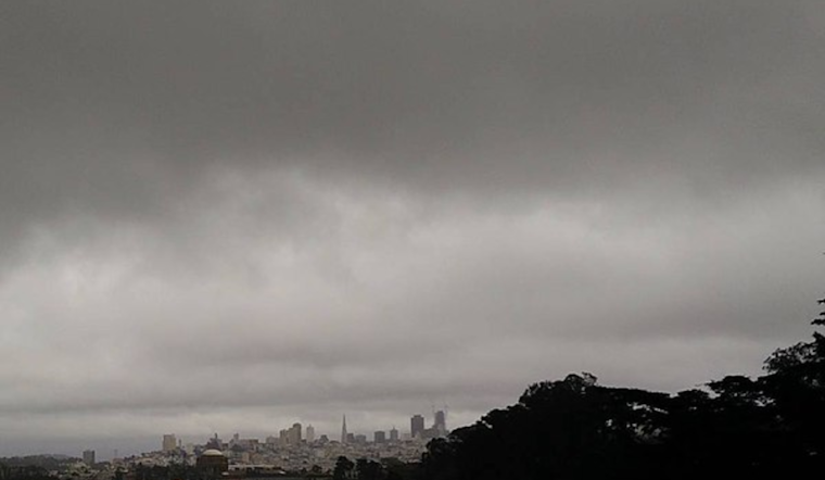
The Bay Area is bracing for a significant downpour as the National Weather Service (NWS) in San Francisco forecasts a series of rainstorms starting Tuesday night, with the most intense rainfall expected on Wednesday. According to the NWS San Francisco, the region could see between 0.5 to 2 inches of rain, while coastal ranges might receive up to 4 inches. Higher elevations above 3,000 feet might also experience snow.
In what seems to be the calm before the storm, Monday brought a mix of sun and clouds along the coast and filtered sunshine inland. But this tranquility is merely a prelude to "an active pattern" that will "ramp up late Tuesday night," as per the NWS's Area Forecast Discussion. A weak Atmospheric River is set to bring heavy rain and possibly thunderstorms Wednesday into early Thursday, alongside gusty winds, high surf, and even snow in elevated areas above 2500-3000ft.
The detailed forecast on the NWS website suggests that the heaviest rainfall will occur just ahead and along a cold front, which is expected to hit the North Bay by late morning Wednesday. The front will then move east and south, drenching the rest of the Bay Area through the afternoon and evening. "The strongest winds will approach 50mph along the Big Sur Coast late Wednesday morning into early afternoon," forecasts the NWS.
Furthermore, local marine conditions will turn hazardous Wednesday through Friday, with gale-force gusts and rough seas anticipated. "Widespread rainfall is expected Wednesday and Friday with a slight chance for thunderstorms in between systems on Thursday," states the NWS's Marine Forecast. As another weather system approaches, rainfall seems likely to persist into next weekend, with "another round of rainfall arrives early Friday morning," contributing to a potentially very wet start to April.


