The National Weather Service in Cleveland reports that residents of the Cleveland area can expect a dynamic shift in weather over the weekend. Starting with a stationary front lingering in the Ohio Valley through tonight, the landscape will dramatically change as the front lifts northward across the region as a warm front on Friday. Prepare to experience a surge in temperature, with highs potentially hitting the 70s by Friday afternoon, although clouds may start to obscure the skies later in the day.
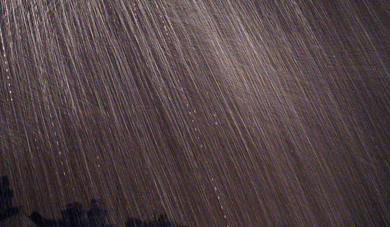
A strong low-pressure system is anticipated to aggressively impact the Great Lakes region throughout the weekend, bringing potential 50-70 mph winds and heavy rain. The National Weather Service forecast discussion states, "The heaviest rain should occur overnight Friday night and again Saturday evening." The wet conditions and strong winds could rapidly lead to scattered power outages and heightened risk for uprooted trees, urging citizens to stay alert.
As the potent surface low progresses northward, the associated winds are expected "to tap into stronger flow aloft and yield peak surface non-convective wind gusts of 40 to perhaps 50 mph," particularly affecting the west side of the National Weather Service Cleveland area. Residents should look for a Wind Advisory, particularly as stronger gusts could compromise travel and outdoor activities.
Similarly, the storm is forecast to deliver significant rainfall amounts between 0.75" and 1.75" across the greater Cleveland region from Friday night into Sunday morning. The National Weather Service warns of "minor flooding in low-lying and/or poor drainage areas" and potential impacts on river levels. Following the tumultuous weekend, high pressure is predicted to return on Monday, providing respite from the downpour and gusts, shifting the area back to calmer weather conditions.
In terms of air travel, VFR conditions are predicted through the TAF period with light winds emanating from Lake Erie. Aviation interests should be aware of potential non-VFR conditions starting Friday night through Sunday due to the forecasted showers and thunderstorms. Saturday holds the possibility for "southerly wind gusts of greater than 30 knots," which could lead to challenging flying conditions over the weekend.
For those utilizing Lake Erie's waters, a similar set of precautions apply. With changing wind patterns from northeasterly to southeasterly and wave heights building up to 7 feet in open waters, a Small Craft Advisory may be warranted. The marine forecast notes that the region might see waves subside to more manageable levels by early next week.


