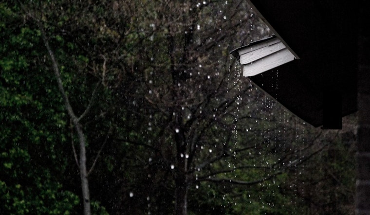
Strong trade winds are expected to continue blowing across the Hawaiian Islands well into the week. The agency's latest forecast indicates an incoming phase of gusty conditions and increased showers, particularly over windward and mauka areas, as a high-pressure system to the north maintains its hold. Showers are expected primarily overnight and in the early morning hours, a pattern well known to residents facing the eastern edges, according to the latest update from the National Weather Service in Honolulu.
This grip of weather has seen some forecast adjustments, aimed to more accurately mirror the National Blend of Models. Even though the recent tweaks have yet to fully kick in, it's been reported that winds could crank up to potentially advisory-worthy speeds over sections of the Big Island and Maui County. However, the boots currently on the ground, those tangible measurements from weather stations, aren't singing quite the same tune as those high resolution models projected, so winds have been capped just below the advisory threshold today.
The remnants of a cold front that sputtered out to the islands' north are shaping the sky's tapestry, its leftover clouds ushered in by the trades. These clouds cloak islands in succession, bringing with them a promise of more rain. Kauai's already feeling the damp embrace, Oahu's next in line, and Maui County along with the Big Island should brace for their share tonight into tomorrow.
Overhead, the atmospheric landscape tells us the inversion levels are hanging tight between 8500 and 9000 feet in both Lihue and Hilo, with precipitable water measurements that stay true to the March norm. Indeed, those in the know at the National Weather Service understand that with the current mid-level shifts could easily bring fewer showers over to the state's eastern end, while an obstinate mid-level trough hovers over or near the Big Island, likely to boost shower intensity there.
For those more inclined toward navigating the skies than walking the earth, breezy to strong trade winds will persist, and along with them, the possibility of scattered showers that could affect visibility. The aviation community should be advised that AIRMET SIERRA may be critical later in the day for some islands, reflecting the anticipated low ceilings and reduced visibility.
At sea, mariners are advised to proceed with caution. A stubborn High-Pressure center positioned some 750 nautical miles north of Oahu is commanding quite the force over the water, clenching the reins on what can only be described as fresh to near gale force trades. Boats and their crews will want to heed the Small Craft Advisory, in place until at least early Tuesday, vigilantly. While yesterday's northwest swell is veering off, rough and choppy conditions on east-facing shores will more than likely remain due to the persistent wind fetch.


