The weather this week in Las Vegas is expected to be impacted by a "potent upper level system," from today through Friday. According to the National Weather Service, the most significant effects are anticipated on Thursday, with widespread mountain snowfall, gusty winds, and the possibility of light rain. Temperatures are also forecast to drop, potentially reaching up to 15 degrees below normal for this time of year through Friday.
Calmer skies are expected for the weekend, with temperatures returning to near-normal by Sunday. The National Weather Service also forecasts the possibility of gusty winds and showers early next week. While the most severe conditions are expected to pass by Friday, it is recommended to keep jackets and possibly an umbrella available. Travelers in Southern Nevada and parts of California should be prepared for "rapidly changing conditions," particularly in higher elevations.
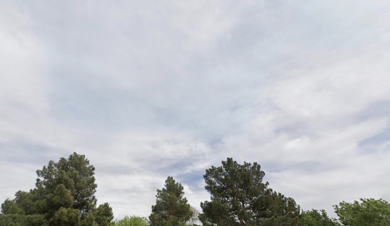
For aviation, the outlook remains challenging. Light winds this morning are expected to shift southerly by late morning, with gusts of up to 25 knots possible through the afternoon and evening, according to the NWS. A thick layer of clouds around 6,000 feet is also expected to develop throughout the day. By Thursday, cloud coverage is forecast to increase, with rain likely to last throughout the day.
Residents are advised to stay weather-aware, as conditions can change quickly, especially with shifts in elevation. The weather service recommends that spotters report any significant weather or impacts following their standard operating procedures. While the coming days may present challenges for Las Vegans, sunshine and warmer temperatures are expected to return in the near future.


