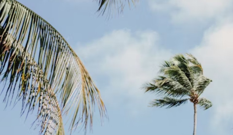
Las Vegas is set for a drier weekend following yesterday's showers. While today is expected to be less impactful, winds will increase, particularly in the Western Mojave Desert. Residents are advised to brace for gusty conditions.
The National Weather Service discussion points out that any lingering winter weather advisories in Mohave County have expired and wind advisories south of the I-15 have been canceled, however breezier conditions remain out in the Western Mojave Desert where gusts may hit 30 to 40 MPH, and while snow has ceased, winding back to a more manageable whirlwind across the region.
Amidst this airy tussle, two wavering weather waves are setting the stage for today's forecast, albeit with lesser moisture – a blessing or curse, depending on your affinity for rain. "PWATs will be lower than yesterday and the forcing with piece of energy is not overly impressive, so impacts with this first wave of precipitation will be limited," the NWS explains. A silver lining to cling to is the promise of a warmer weekend ahead, with temperatures inching back to near-normal by Sunday.
Aviation updates from the NWS indicate winds at Harry Reid International Airport will generally stay in the 20-30 knot range. However, some high-resolution models suggest gusts could exceed this. The weekend's brief calm will soon give way to another weather system early next week, bringing more wind and precipitation.


