Oklahoma and parts of northern Texas are bracing for severe weather as the National Weather Service (NWS) in Norman has issued a dire warning for the region. A High Wind Watch is in effect from tomorrow morning through the evening, signaling southwest winds potentially reaching up to 65 mph. These powerful gusts could down trees and power lines and pose a danger to high-profile vehicles. NWS Norman advises residents to take precautions, prepare for possible power outages, and secure loose objects that could become airborne hazards.
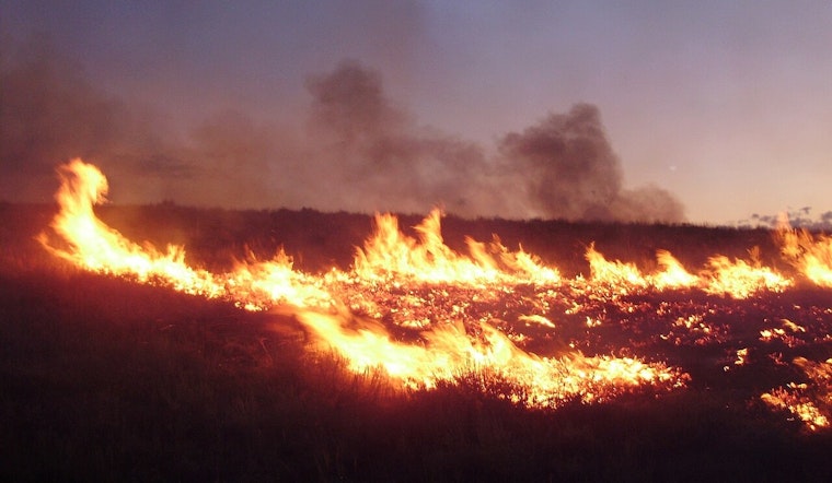
In addition to high winds, a "Red Flag Warning" from the National Weather Service in Norman underscores the heightened risk of wildfires, driven by a mix of strong winds, low humidity levels as dry as 12 percent, and temperatures reaching up to 72 degrees. Residents across the warning-affected area are reminded that outdoor burning is not just discouraged—it’s an outright gamble against Mother Nature’s fiery temper. Conditions are ripe for rapid fire spread, making today a day to snuff out any ignition plans, lest the dance of embers escape their confines and join the unfolding atmospheric frenzy.
The forecast leading up to and following the High Wind Watch indicates a yoyoing climate pattern, with temperatures vaulting to a high near 81 degrees today before a southwest wind sweeps in at 18 to 23 mph and jacking up to 27 to 32 mph tomorrow afternoon, according to the latest data from the NWS. Those who weather the bluster can expect a return to relatively more stable skies come Saturday, with partially sunny conditions and a serenade of north northwest winds at a more tame 8 to 14 mph in rhythm.
Looking beyond the immediate threat, the week ahead appears to be a seesaw of conditions, with temperatures bouncing between nighttime lows in the high 30s and daytime highs reaching upwards of 82 degrees. The NWS forecast suggests that residents in the affected regions will be threading the needle between spring’s capricious moods for some time.


