The National Weather Service (NWS) in Seattle has issued a weather forecast calling for varied precipitation and temperatures in the coming days. As per the latest update, Seattle is currently under mostly cloudy skies with temperatures hovering around 52°F and humidity levels at 87%. The barometer reads 29.79 inches (1008.81 mb), and there's a visibility of 10 miles. Seattle residents can find more details on this forecast at the National Weather Service website.
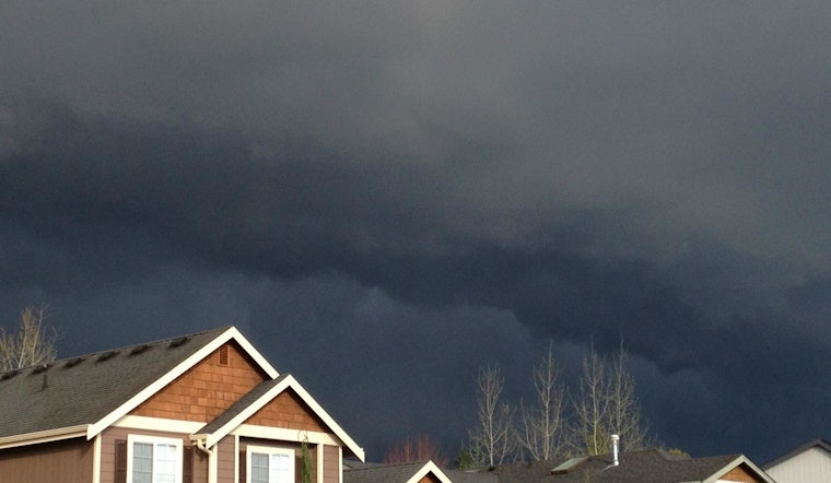
According to the NWS forecast, today Seattle might see a chance of rain before 3:00 p.m., transitioning to a potential mix of showers and thunderstorms after 4:00 p.m. While the temperatures could rise to a high near 70, calm winds are expected to shift north-northwest at around 6 mph in the afternoon. A 40% chance of precipitation is expected. Tonight, rain and possible thunderstorms—including severe ones—will envelope the city with a high chance. With temperatures dropping to a low around 48 and south winds ranging from 7 to 10 mph, residents should prepare for a wet evening. Precipitation amounts are predicted to be substantial, ranging between a half and three-quarters of an inch.
Thursday's outlook has an 80% chance of rain and highs nearing 58°F. Winds from the south-southeast could pick up, gusting as high as 20 mph, while new precipitation levels might measure at less than a tenth of an inch. The rainy conditions are set to continue into Thursday night, carrying into Friday with high probabilities of precipitation and similar gusty winds. Friday night's rain should taper off before 11:00 p.m., with new rainfall amounts again on the slight side. As per the forecast, the weekend may offer a brief reprieve during the day on Saturday, but rain is likely to return that very night.
Looking forward to Sunday, residents in Seattle should expect a slight chance of rain after 11:00 a.m., with partly sunny skies and a high near 61. By nightfall, chances of rain may creep up again, leading to mostly cloudy conditions and lows around 45. The pattern persists into the next week, with rain expected on Monday and likely through Tuesday. Highs early in the week are anticipated to hover in the mid-50s, while nighttime temperatures could dip into the low 40s.


