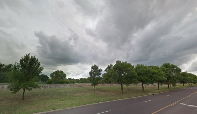
The National Weather Service in St. Louis has issued a Hazardous Weather Outlook, cautioning residents across eastern and central Missouri as well as parts of west central and southwest Illinois of potential severe weather conditions expected throughout the week. Beginning today, the forecast predicts rain and thunderstorms primarily before 3 p.m. with temperatures hitting a high near 75 degrees, and then transitioning to partly cloudy skies overnight with a low around 40 degrees, according to the NWS update.
Winds are expected shift from south to northwest as the day progresses, gusting as high as 26 mph and the chance of precipitation standing firm at 80 percent, the barometer reads at 29.69 in, with visibility steady around 10 miles. As the NWS outlines, isolated severe thunderstorms are possible this morning in central and northeast Missouri, with damaging winds being the primary threat—the ongoing weather scenario poses a high probability for large hail, potentially exceeding 2 inches in diameter, alongside additional hazards of damaging winds and potential tornadoes come this afternoon and early evening particularly in southeast Missouri and southwest Illinois.
Looking further ahead, the weather outlook from the NWS suggests a continuation of unsettled conditions with Tuesday night bringing a 50 percent chance of rain after 1 a.m. and Wednesday expected to carry a 90 percent chance of rain possibly coupled with a thunderstorm; the likelihood of rain continues relatively unchecked through Saturday, with daily chances of precipitation ranging from 40 to 80 percent and temperatures hovering between the low 40s and mid-70s.
For those keen on staying ahead of potential severe weather events, the National Weather Service encourages spotters to remain vigilant, especially today where spotter activation is likely—the outlook emphasizing preparation and monitoring for thunderstorms that could once again become severe come Wednesday afternoon and evening.


