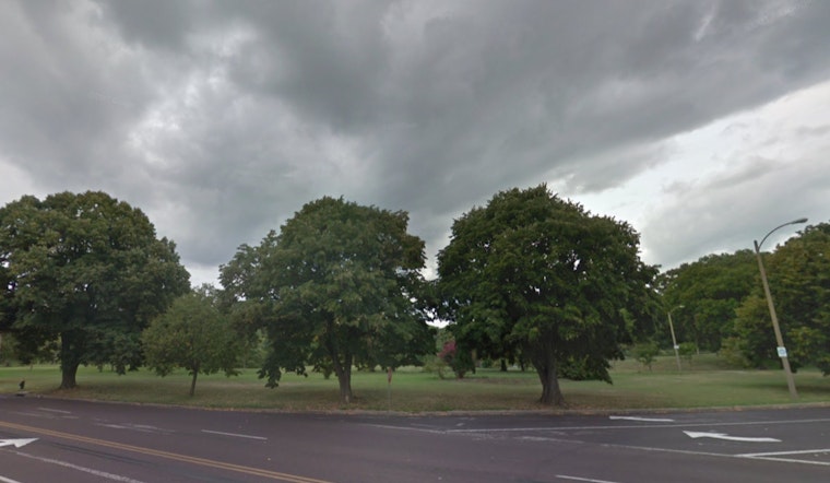
The skies above St. Louis are rendering themselves quite the canvas this week, with an overcast forecast and a high temperature nearing 69 degrees today, a slight uptick from the morning's 66°F, as reported by the National Weather Service (NWS) in St. Louis, MO. The city is currently experiencing a bracing 65% humidity and winds gusting from the south at up to 24 mph, which certainly offers a break from any stillness that might have taken hold.
As we navigate through the weekend, there's a clear shift in the weather narrative with a "rain likely" scenario primarily before noon accented by potential thunderstorms—a 70% chance—however, stepping into the night the odds will decline to a mere 30%, the uncertainty of precipitation mirroring the erratic heartbeat of the city itself, according to the NWS report. Conditions Sunday suggest a vigorous mix of rain and thunderstorms later, with an impressive high of 78 degrees, the southern winds persistently pushing at speeds that could peak at 25 mph.
Looking toward the start of the week, "mostly cloudy" seems to be the recurring theme, yet the temperature remains somewhat moderate with a high near 52 on Monday, while the night might invite a slight chill as it dips to around 35 degrees. Tuesday's fortune seems a bit rosier, partly sunny with a high near 60, but with a 50 percent chance of rainfall come nightfall, the NWS detailed forecast continues to prepare us for nature's unpredictability.
The true crescendo of the week's wet symphony appears destined for Wednesday when the chance of rain and possibly a thunderstorm soars to a near guaranteed 90%, which might very well drench any midweek plans under a high near 75 degrees, so perhaps it's best to keep an umbrella at arm's reach at all times. Rain remains a stalwart visitor through to Friday, with chances fluctuating around 40-50 percent and temperatures consistently congenial, hovering in the upper 60s.
In a more urgent tone, the NWS has issued a Hazardous Weather Outlook for much of Missouri and portions of Illinois for the weekend: "Thunderstorms are likely late tonight across central and northeast Missouri and west-central Illinois. A few of the storms could be severe capable of large hail and damaging winds," the alert reads. Risk escalates on Sunday with "severe thunderstorms" that could unleash various danger including damaging winds, large hail, and even the perilous specters of tornadoes.
Those with an affinity for the sky's theater may find themselves restless on Wednesday as well, given "another chance of thunderstorms" looms, signaling St. Louis residents and its neighbors to remain vigilant and perhaps lean on the wisdom of informed preparation. NWS reports also prompt for spotter activation which may be needed late tonight, further underlining the need for caution amidst climatic uncertainty.


