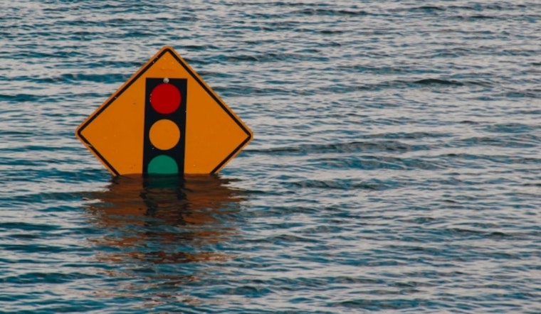
Residents in parts of Illinois and Missouri are preparing for a potentially active weather weekend as the National Weather Service in St. Louis has issued a Flood Watch from Friday evening through Sunday evening. The forecast indicates that flash flooding from excessive rainfall is possible, with both states facing the risk of rapidly rising water levels.
The National Weather Service expects several rounds of showers and thunderstorms beginning Friday night and continuing through Sunday. Rainfall totals are forecasted to range between 2 to 4 inches, with isolated areas possibly receiving up to 5 inches. This level of rainfall could cause rivers and streams to overflow, leading to flooding in nearby areas. A Flood Watch means flooding is possible based on current forecasts and should be monitored.
A Hazardous Weather Outlook is also in effect. According to the National Weather Service, some thunderstorms may produce large hail and localized damaging winds. There is also a chance of severe thunderstorms on Sunday, with risks including hail, strong winds, and tornadoes.
In addition to river flooding, flash flooding may also occur due to heavy rainfall. The forecast advises residents to be prepared to take action if Flash Flood Warnings are issued. The wet weather pattern is expected to continue, with chances of showers and thunderstorms extending into next week.


