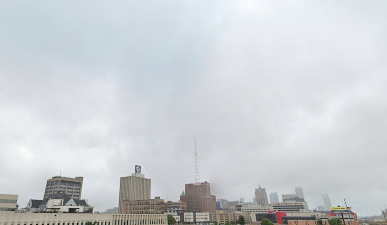
Residents in the Milwaukee area can expect to quickly see a change in the weather, following a light drizzle and patchy fog this morning. According to an update from the National Weather Service in Milwaukee, the rest of Thursday looks mostly cloudy with temperatures reaching near 40 degrees, accompanied by a northeast wind blowing at 5 to 10 mph. As the evening rolls in, temperatures will hover around the mid-30s.
Heading into the weekend, the outlook appears to brighten with sunny skies expected on Friday and Saturday and highs climbing up to around 46 and 52 degrees, respectively. However, there's a caveat for those planning outdoor activities on Sunday: a 30 percent chance of showers could play spoilsport after 1 p.m., while slightly stronger south winds at 10 to 15 mph bring in a higher daytime high near 56 degrees.
The National Weather Service has also issued a Hazardous Weather Outlook for east central, south central, and southeast Wisconsin areas for the next several days. While today and tonight are expected to be uneventful, outside of potential sleet mixing with rain north of I-94 in the early morning, Sunday and Monday may see a few thunderstorms developing in the region.
For those invested in looking ahead to next week's conditions, there's a slight chance of showers on Monday that gradually give way to partly sunny and clear nights, with temperatures dipping to the low 30s by Tuesday night. The outlook for Wednesday is plain sunny with a high near 51 degrees—a breath of reprieve as we edge closer to warmer Spring days.


