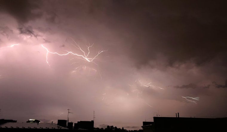
Residents in the St. Louis, MO, area should be on the lookout for potential severe weather today. Forecasters predict scattered showers and thunderstorms, mainly after 4 pm, with a 40% chance of precipitation and gusty winds that could reach as high as 20 mph. The temperature is expected to climb to a high near 72 before the weather takes a turn, according to the National Weather Service.
The NWS has issued a Hazardous Weather Outlook for eastern and central Missouri as well as west central and southwest Illinois. Driven by strong to severe storms, mostly between 1 and 6 PM, areas in southeast Missouri and southwest Illinois may experience hail up to the size of quarters and gusty winds. While enjoying the warm afternoon temperatures, residents should be prepared for a sudden shift in weather conditions.
To ensure public safety, spotter activation has been encouraged. The NWS is requesting that spotters report any hail or wind damage that may occur. Tonight, the risk of scattered thunderstorms will continue before 10 pm, followed by a drop in temperature to a low around 45 with winds blowing northwest at 7 to 9 mph.
Looking forward into the week, the forecast shows a break in stormy weather with partly to mostly sunny days ahead. Despite some scattered sprinkles expected on Friday morning, the weekend promises to deliver pleasant conditions with highs in the mid-60s and lows in the upper 40s. However, heading into Sunday night and Monday, there is a chance of thunderstorms returning, as per the NWS forecast.


