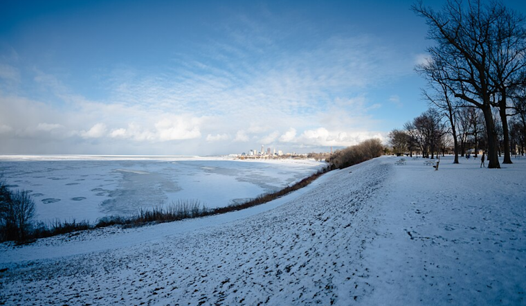
The skies over Cleveland are set to slowly brighten, as the National Weather Service (NWS) Cleveland reports high pressure moving in from the west, leading to quieter and clearer conditions by Thursday. An update from the NWS indicated that lake-enhanced rain and snow showers will be phasing out across Northwest Pennsylvania today, with residual sprinkles and flurries possible in Northeast Ohio. "Lake effect rain/snow showers continue to impact Northwest PA, though visibility restrictions are primarily confined to the higher terrain east/southeast of ERI and northeast of GKJ," according to the NWS forecast discussion. So, for those longing for spring, patience, the sun is nearly here.
Temperatures are to gradually rise to more seasonable levels, with highs today expected to span from the upper 30s to the mid-50s, depending on your locale. The chill of the night will bring frosty lows ranging from the upper 20s to mid-30s. Meanwhile, Thursday promises to warm even further, "with highs Thursday will range from the 50s to near 60 in Northwest PA to the low to mid 60s in OH," the NWS statement said. As the high pressure takes hold, those in the Cleveland area should be ready to quickly shed their winter layers as temperatures are anticipated to soar into the 70s by Friday. But don't get too comfortable in your shorts; the upcoming weather change could prove to be more than just a simple warm-up.
The NWS warns of potential storms on the horizon by Friday night, as a cold front chases the warm front through the region. "The main question will be if these storms will have any bite to them or not," the NWS stated, noting the unfriendly timing for storms as the atmosphere typically stabilizes post-sundown. However, issues could arise due to the strengthening low-level jet ahead of the cold front, possibly leading to stronger convection. As mentioned in the NWS update, "Friday night will be a period to watch for some stronger convection with damaging winds being the main threat at this time."
As for the marine forecast, boaters on Lake Erie should heed a series of Small Craft Advisories relating to strong west to northwest winds, which are expected to subside by this evening. However, the waters may not remain calm for long. "Strong southwest winds may necessitate another Small Craft Advisory headline," forecasters advised. Thunderstorms entering the region could also affect marine conditions on Friday night. Furthermore, the cold front scheduled to cross the lake on Saturday is likely to bring increased onshore winds, prompting rising waves that ought to be watched closely by those on or near the water.
Looking ahead into next week, Cleveland remains under the whims of a tumultuous spring pattern. The NWS forecast discussion alludes to another low-pressure system that may bring more rain early next week, with possibilities for some lingering showers to persist into Monday night and Tuesday before conditions possibly clear up. While the chance for precipitation is still up in the air, it's clear the weather in Cleveland will continue to keep residents guessing as the seasons change. Clevelanders are thus advised to keep their umbrellas close and their weather apps closer.


.jpg)