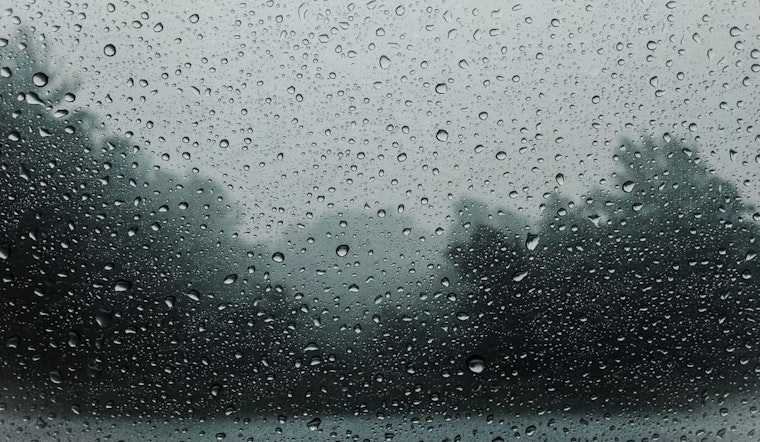
Honolulu's weather is taking a bit of a wet turn according to the latest forecast released by the National Weather Service (NWS). The islands are currently experiencing upper level troughing, which spells sporadic rainfall across the territories. For those hoping for a sunny weekend, it might be a good idea to hold off on those beach plans, as another day of island-wide showers is expected due to a combination of "stronger trades," interior warmth, and higher moisture levels. This somewhat gloomy outlook was echoed in a recent NWS synopsis, so perhaps it's a timely moment to dust off those raincoats and umbrellas.
The wet weather, hitting especially hard in the windward mauka communities, has seen some areas notch considerable rainfall in the last couple of days. Windward Kauai, including perennial rain catchers like Mount Waialeale, appears to have absorbed more than its fair share, making those locales distinctly damper than others. Despite an incoming "somewhat unstable situation this weekend," the rain parade may taper off going into next week, giving locals a brief respite from umbrella clutching. Yet this relief seems fleeting, with a pesky "closed-off upper low" forecasted to rear its head northwest of Kauai, reintroducing thunderstorms and heavier showers.
Aviation and marine operations take a sigh of limited relief with mostly VFR conditions prevailing, despite the challenge of occasional moderate to heavy showers and isolated thunderstorms foretelling turbulent times ahead. The marine sector, in particular, is bracing for a weakening trade winds scenario according to the NWS, which could see a shift from easterlies to more irregular southerlies by the early days of the week following. Surfers yearning to hit north-facing shores might have to settle for subpar conditions, as a north-northwest swell is on the downhill slope with only a "tiny, long period northwest swell" in the forecast to potentially perk things up on Monday.
For the laid-back beachgoers, promises of lower surf along east shores through the weekend might make for placidly predictable paddle boarding sessions. Meanwhile, south-facing shores will see some action, riding on the coattails of a "larger, long period south-southwest swell" that's expected to roll in early next week, as covered in the NWS update. It's looking like a mix of weather scenarios for the islands, with a balance of wet spells, cloudy prospects, and moments when the surf is just right. For now, weather watchfulness seems to be the prudent posture for island dwellers and visitors alike.
As for weather advisories, the NWS reports a green field – no watches, warnings, or advisories are currently in place. But with the dynamic weather conditions encircling the islands, residents should keep a wary eye on the horizon and maybe take this time to appreciate the rain's nourishing touch on the Hawaiian landscape - even if it means rescheduling that outdoor BBQ for another sunshine-filled day.


