

























































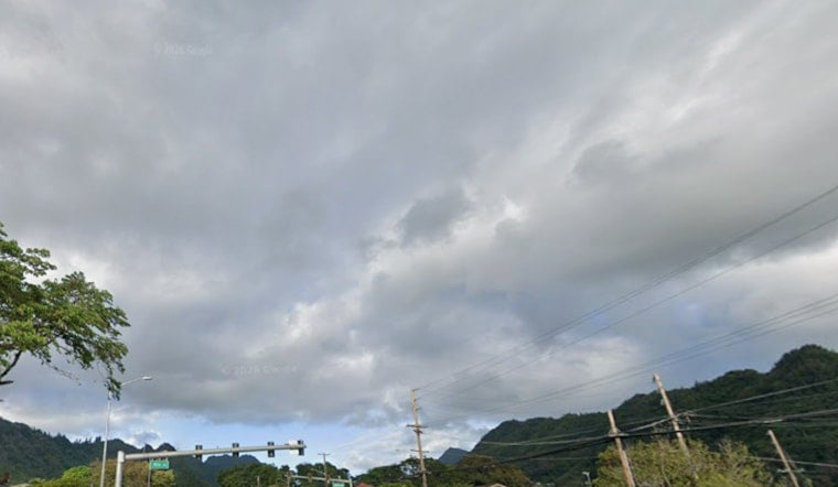
Honolulu woke up soggy Thursday morning, July 23, 2026, with scattered rain showers, muggy lows near 75°F and a warmer, breezier afternoon on deck. Showers are most likely before noon, then partly sunny conditions should nudge highs toward 85°F as east-northeast trades pick up speed. Beachgoers and commuters alike should prep for gusty winds in exposed areas and choppy shorelines.
High Surf Advisory and Beach Safety
According to NWS Honolulu, a High Surf Advisory went into effect at 6:00 AM HST Thursday and runs through 6:00 AM HST Friday, calling for south shore sets in the 8 to 12 foot range and strong rip currents. Lifeguards are urging caution, especially near rock outcrops and exposed shorelines. Powerful shorebreak and sneaker waves can go from fun to hazardous in a hurry. For a local rundown of affected beaches and timing, see Big Island Now.
Afternoon Winds and Quick Showers
East-northeast trades will increase through the day, with sustained speeds generally 13 to 20 mph and gusts into the mid 20s in exposed corridors, leaving ridgelines and windward neighborhoods feeling blustery. Expect scattered morning showers to taper by midday and more sunshine in the afternoon, with highs near 85°F. See Honolulu streets soak as quick showers roll in for background on the incoming swell and the recent trade-wind trend.
Marine Outlook and Weekend Surf
Small Craft Advisories and fresh trades will keep channels and some nearshore waters bumpy, so small or open boats should check with harbormasters and use extra caution. Forecasters note a reinforcing long-period south swell and the distant Tropical Cyclone Fausto could keep advisory-level surf hanging around into the weekend, which may force an extension of the current advisory. Ocean-goers are urged to check in with local ocean safety officials and updated forecasts before heading to the water.





