Boston is redefining the curb game, and it's thanks to some pretty nifty tech advances. With the city vying to keep pace with the growing demands of ride-sharing, delivery services, and a burgeoning population, officials have turned to digital wizardry to solve the parking puzzle that's been plaguing our streets. As an announcement from the City of Boston clarifies, they're building a comprehensive, interactive map of all of Boston's curb regulations and layouts. Funding from the U.S. Department of Transportation's SMART Grant makes this possible, marrying artificial intelligence with real-time data sharing to streamline curbside management.
In the midst of this innovative overhaul lies the Streets Cabinet and Innovation and Technology Cabinet, whose collaborative efforts are critical in revamping how Bostonians interact with curbs. "The analysis and modeling made possible by SMART Grant funding will help us make the City's curb management more efficient for planners and more convenient for residents and businesses, as well as save time and money," Jascha Franklin-Hodge, Chief of Streets, told City of Boston. Their digitization project is currently being piloted in Chinatown, where the Office of Emerging Technology and Citywide Analytics team is harnessing artificial intelligence to convert street-level images into a digitized parking layout.
This is not just about creating an interactive map for public use, it's about adopting a more efficient approach to curbside management that provides real-time parking data. According to City of Boston, Boston's Office of the Parking Clerk and New Mobility team are set to test this digital map, enabling adjustments to better serve city dwellers and visitors alike. "Our innovative approach will fundamentally change how we collect and use curb data," Michael Lawrence Evans, Director of Emerging Technology, outlined in a statement, emphasizing the transformative potential of the digital curb map.
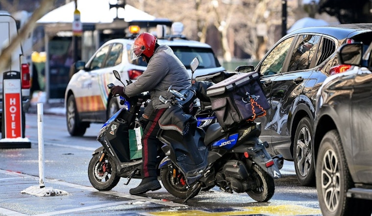
With this project, Bostonians are looking forward to real-time insights on where they can park without the risk of towing or tickets. This accessibility is nothing short of a game-changer for a city with a 7 percent increase in registered vehicles over the past five years and a projected population increase of 34,000 within the next decade. Amelia Capone, Director of Parking and Curbside Management, believes the new tools will allow the Transportation Department to agilely pivot as curb usage – and the needs of the city's residents and businesses – continues to evolve. "Like Boston itself, our curbs are a dynamic place of potential," Capone said in an interview with City of Boston.
The implications of Boston's curb management overhaul are expected to ripple out as this digital transformation wraps up in May 2026. And it doesn't end there. The city has other innovative plans in the pipeline, tackling everything from environmental hazards to traffic congestion and climate change. For curious minds and those eager to stay on top of emerging city tech, the Office of Emerging Technology and the Streets Cabinet have detailed information hosted on the City of Boston's official website.


