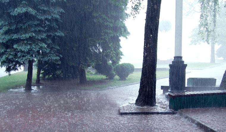
The National Weather Service in Oklahoma City has issued a Flood Watch across various parts of Oklahoma and northern Texas as persistent showers and thunderstorms continue to threaten the region with excessive rainfall. According to the latest updates, the watch remains in effect through late tonight, with widespread projections ranging from 1 to 3 inches of rain, and even higher amounts in certain locales. The current overcast conditions with humidity standing at 81% and a dewpoint of 53°F set a grim stage for potential flooding.
The forecast for today underscores the certainty of inclement weather with a 100% chance of precipitation and possible rainfall amounts between three quarters and one inch. The atmosphere is tense as the east wind blows at 8 mph, with gusts reaching as high as 21 mph—a reminder of the weather's raw force and the coming storm's potential for disruption. Flooding caused by excessive rainfall remains possible, the NWS warned, emphasizing the risk to rivers, creeks, and low-lying areas prone to being swamped by persistent downpours.
Continuing into tonight, the likelihood of showers and thunderstorms remains high, mainly before 1 am, with new rainfall anticipated to measure between a further tenth and a quarter of an inch. However, with thunderstorms in the mix, this forecast may skew higher. The Flood Watch covers a broad swath of counties including Alfalfa, Atoka, and Bryan in Oklahoma, extending to regions in Texas such as Archer and Wichita. Residents in these areas are advised to remain vigilant and prepared to take action.
Apart from the risks of swollen rivers and inundated streets, poor drainage and urban areas are particularly vulnerable, raising the possibility of familiar cityscapes suddenly transforming into temporary waterways. The NWS cautions that low-water crossings may be flooded and notes that area creeks and streams are running high and could flood with additional heavy rain.
While most attention is on the current weather threats, the extended forecast shows improving conditions, with fewer showers and storms expected later in the week and a sunny weekend ahead. Despite the better outlook, the NWS continues to monitor the situation closely.


