After a period that might have felt like a meteorological Groundhog Day, a low-pressure system that's been loitering around Ohio is about to take its leave. According to an Area Forecast Discussion by the National Weather Service in Cleveland, residents can expect this change to roll through by Tuesday. Following its exit high pressure will have a momentary cameo Wednesday, with a cold front sweeping in shortly after that night.
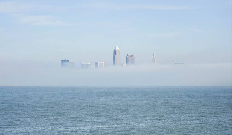
Visibility has been on the upswing, suggesting that the dense fog advisory may be nixed earlier than scheduled. The troublesome low-pressure system that's been hanging over Indiana and Kentucky is set to shuffle northeastward today and Tuesday, and with it, the kind of mugginess that makes both stratus and fog feel right at home across Ohio. "A dense fog advisory is in effect for a portion of north-central and central Ohio through 10 AM, where observed 1/4 SM visibility has been most persistent," the National Weather Service in Cleveland reported. Showers and thunderstorms are also on the agenda for late afternoon, as warm, moist air moves in from the southeast, setting up the potential for storms that could pack a punch with heavy rain, strong winds, large hail, and even the slight chance of a tornado.
Heading into Tuesday night, the foggy curtain will lift as that stubborn low-pressure finally drags itself northeastward. There might be a few rainy encores early into Wednesday in northeastern Ohio and northwestern Pennsylvania, but as the day progresses these showers should fade out. There's a whisper of uncertainty around moisture levels for late Wednesday into Thursday, suggesting that precipitation probabilities could get a bump if humidity decides to crash the party.
Marine conditions on Lake Erie have eased up too, with Small Craft Advisory warnings recently lifted, although visibility due to fog could be cause for an advisory down the line. "Winds have diminished and waves have subsided below Small Craft Advisory criteria so have allowed the Small Craft Advisory to, expire," according to the NWS marine forecast. Looking ahead, expect northerly and northeast winds through the end of the week and possibly 4-foot waves at times. Despite this, sailors and lake goers can likely anticipate conditions to stay under advisory levels.
Optimism is the prevailing mood for those casting their gaze towards the weekend, with the National Weather Service leaning towards mainly dry conditions. Keep an eye out for potential showers skirting around the southeastern and southern zones. Still, otherwise, temperatures are expected to swing into a more comfortable range, with highs potentially touching the 70s.


.jpg)