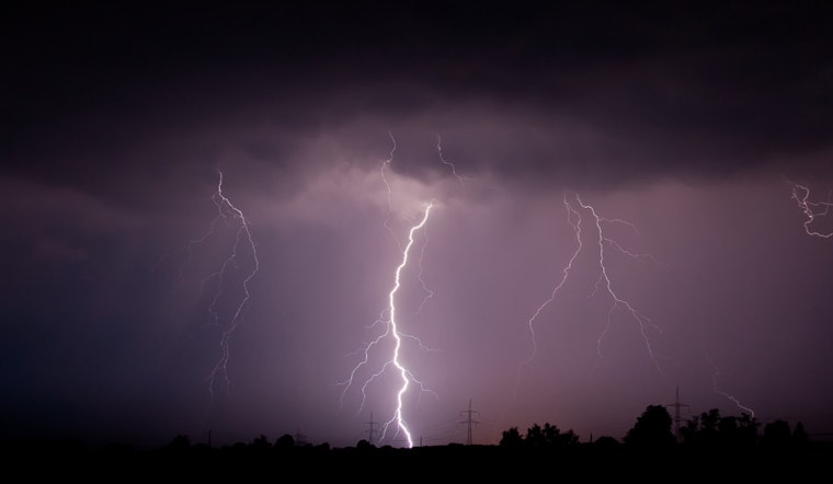
Oklahoma City residents should keep an umbrella handy over the next few days, as the National Weather Service forecasts a series of rain and thunderstorms, interrupting what has been a relatively dry season. The latest weather update indicates a 50% chance of showers today, with the possibility of thunderstorms after 1 pm and lingering patchy fog expected to dissipate before 11 am.
With humidity at an uncomfortable 96%, the city wakes up to a light drizzle and fog, setting the stage for a mostly cloudy Wednesday with highs around 71°F and a mild southwest wind shifting between 3 to 8 mph. The unpredictable weather may disrupt outdoor plans, and with the barometer hovering at 29.91 in (1012.4 mb) and the dew point nearly matching the current temperature at 56°F (13°C), comfort may be in short supply.
Tonight, the odds tilt slightly more in favor of clear skies, though there remains a 30% chance of showers and thunderstorms, mainly before the 7 pm mark, after which conditions are expected to become mostly cloudy with a mild northwest breeze at about 6 mph and a low settling around 54°F.
Looking ahead, the weekly forecast indicates fluctuating chances of rain through Friday, with Thursday facing a 30% likelihood of showers and potential thunderstorms in the afternoon amid mostly cloudy conditions and high temperatures anticipated to be near 69°F, giving way to a partly cloudy night with a low of roughly 54°F. The city's residents are gearing up for the changing weather with a tad more optimism as the weekend nears; Saturday heralds a promise of sunshine and highs in the low 70s, followed by a repeat performance on Sunday.
Major relief comes with the onset of the following week; Monday is projected to bask in sunny skies, soaring to a high of about 77°F, and Tuesday is not far behind, with the NWS predicting a jump to a high near 82°F.


.jpg)