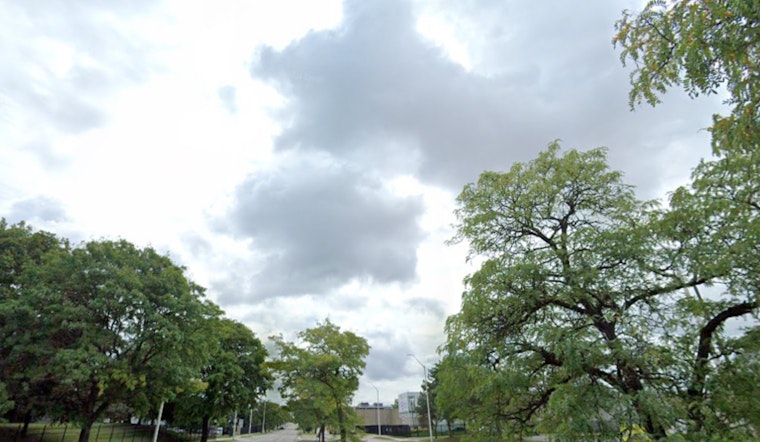
Honolulu residents can expect wetter than normal trade wind conditions through Friday. After breezy conditions, a drier holiday weekend is expected as the weather changes. "High pressure will meander far northwest of Hawaii through Saturday, keeping moderate to locally breezy trades blowing," according to the National Weather Service. Showers may increase due to a low-pressure system, bringing downpours and occasional thunder mainly to Kauai and Oahu.
"The Small Craft Advisory for the windier waters and channels around Maui County and the Big Island has been extended through Friday," as strong trade winds persist due to high pressure to the north. "Surf along south facing shores will remain small to moderate as a long period south-southwest swell is expected to fill in today." Looking ahead, "The holiday weekend will trend much drier and more settled as the upper low moves away," bringing calmer weather and easing trade winds through midweek, as reported by the National Weather Service.
Aviators should be cautious in the coming days due to moderate to breezy trade winds. A low-pressure system over the western part of the state may bring rain and thunderstorms, which could reduce flight visibility. "AIRMET Sierra remains in effect for mountain obscuration over windward portions of Kauai, Oahu, Molokai and Maui," the National Weather Service stated. Pilots may need to adjust their routes to safely navigate the cloud-covered mountains.


