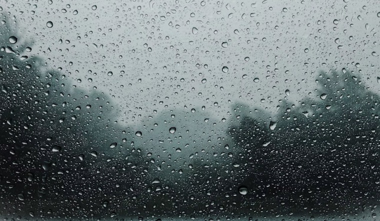
St. Louis residents should be ready to keep their umbrellas close by this week, as the forecast calls for several chances of showers and thunderstorms. According to the National Weather Service in St. Louis, MO, the overcast sky today precedes showers likely set to occur mainly before 4 pm, with an 80% chance of precipitation. Today's high is expected to be near 68 degrees, accompanied by an east wind traveling at 5 to 10 mph.
Tonight, the chances of showers drop slightly before 10pm, then again a slight chance after 4am with cloudy skies and lows around 55 degrees will persist. A 30% chance of precipitation lingers through the night, as the northeast winds are projected to continue to gust at 8 to 10 mph. Memorial Day forecasts show a 50 percent chance of showers, mainly after 2pm. The mostly cloudy weather is predicted to bring highs near 67 degrees, with east winds at 9 to 11 mph, which could gust as high as 20 mph.
The weather outlook doesn't improve much as we move into Tuesday. "Showers are likely, with thunderstorms also possible after 4pm," detailed the National Weather Service. The majority of overcast conditions serve as a backdrop to highs that are expected to edge up to around 71 degrees. The east winds are set to shift north in the afternoon, maintaining a gentle pace around 7 mph. Tuesday night hints at a small respite as there's only a slight chance of showers and thunderstorms before 10pm, then between 10pm and 1am. Chances dip down to 20 percent, with lows hovering around 58 degrees.
Midweek shapes up slightly more optimistic. Wednesday will be partly sunny with a high near 74 degrees, and by nighttime, it will turn partly cloudy with a low around 57. Thursday and Friday hold a 20 percent chance of showers, but the sun will likely make more of an appearance, with temperatures expected to climb towards the upper 70s.
Looking towards next weekend, Saturday gears up to really warm up with a forecasted high near 84 degrees and a mix of sun and clouds—and, as it's been a recurring theme, a 20 percent chance of showers and thunderstorms. While spotter activation is not expected at this time, the Hazardous Weather Outlook is issued for a wide area spanning parts of eastern and central Missouri as well as west central and southwest Illinois, serving as a precaution for any unforeseen changes in the weather patterns.


