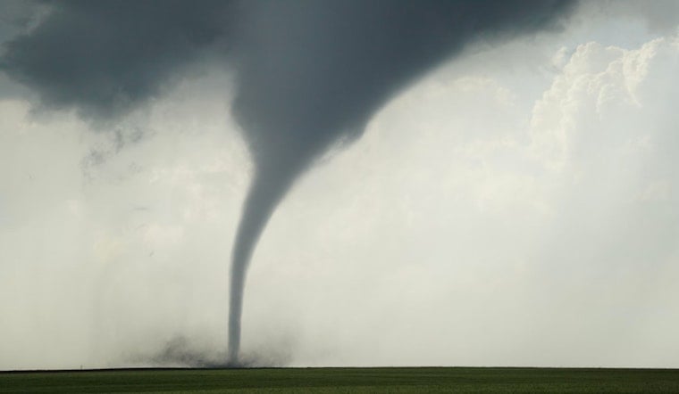
The National Weather Service in St. Louis has issued a Hazardous Weather Outlook, predicting a tumultuous weather pattern for the region spanning today and the coming days. Residents in eastern and central Missouri, as well as west central and southwest Illinois, should brace for a likely outbreak of severe thunderstorms this afternoon, with threats of very large hail, damaging wind gusts, and potential tornadoes.
For today, weather conditions are expected to escalate, especially between 3pm and 4pm, as the light south wind shifts and intensifies to southwest with speeds of 12 to 17 mph, gusting as high as 33 mph; a scenario that conceivably sets the stage for a 60% chance of showers and thunderstorms, according to the NWS latest updates. Alongside these predictions, the St. Louis area faces a performance of nature's volatility, weather wise it's a calm before the storm scenario as current conditions only show "A Few Clouds" and a mild temperature of 67°F.
Those concerned about the overnight forecast can expect mostly clear skies, with a low around 58 degrees and continuing gusts potentially reaching 24 mph. Temperatures on Saturday are predicted to hit a high near 78 under sunny skies, but the reprieve may be brief; as the NWS outlook suggests the possibility of showers returning late Saturday night with a 20 percent chance of occurrence.
Sunday's forecasts add complexity to the mix, introducing a chance of showers and thunderstorms after 1pm, and on Sunday night, the likelihood of precipitation jumps to 70%—further corroborating the unsettled pattern predicted for the early part of the week, during which time Saint Louis’ residents will weather a barrage of showers and thunderstorms through to Tuesday, with some rainfall potentially heavy at times and highs wavering from the low 80s to mid-70s. The hazardous conditions extend their stay through the week, with chances of showers remaining persistent until Thursday.
"Severe thunderstorms are likely this afternoon across parts of east central and southeast Missouri into southwest and south central Illinois. Very large hail in excess of 2 inches in diameter, damaging wind gusts in excess of 80 mph, and a few tornadoes are all possible," a statement from the NWS' Hazardous Weather Outlook. Residents in the impacted areas are advised to stay vigilant and be prepared for rapid weather changes as the system develops.


