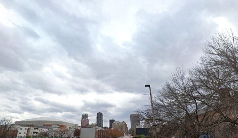
Brace yourselves, St. Louis—rainclouds will be throwing a bit of a wet party this week, with thunder as their plus one. Today looks like a soggy mash-up of showers and thunderstorms, calm winds notwithstanding, that are expected to continue beyond noon until after 1pm, ramping back up in intensity shortly thereafter with a 70 percent chance of rain until nightfall, according to the most recent weather updates from the National Weather Service.
Tonight seems to be playing the same tune with a 40 percent likelihood of showers and thunderstorms before 10pm, post which the sky should give everyone a bit of a breather, though the winds are predicted to drop to a quiet whisper of 6 mph, calming as the evening rolls in. Tuesday, the ambiance shifts slightly with a 20 percent risk of thunderstorms trickling in after a partly sunny start and signs pointing to a steady southward breeze to accompany a high of 79 degrees - Wednesday promises to be the outlier, offering sun with no apparent intention of showers reigning down on the land.
An outlook provided by the National Weather Service spots the likelihood of thunderstorms scattered across selected areas Tuesday, then again from Thursday through Sunday, which means if you've got weekend plans, it wouldn't be a bad idea to have an umbrella as your wingman. No need for spotters to be on standby just yet, as the activation signal has not been lit. Keep an eye on the forecast though; Mother Nature has been known to be full of surprises.
For the rest of the week, temperatures seem keen on a steady climb, with thermometers tipping just over the 90-degree mark by Thursday, but not before Wednesday night temps moderate a bit with a low dipping near 68 degrees. Thursday night follows in close footsteps leaving us with a partial cloud cover and a nightside low of around 64, then Friday kicks off with chances of showers and thunderstorms post 1pm though the day stands resolute, sunny with the mercury rising to an optimistic high near 86 degrees.


