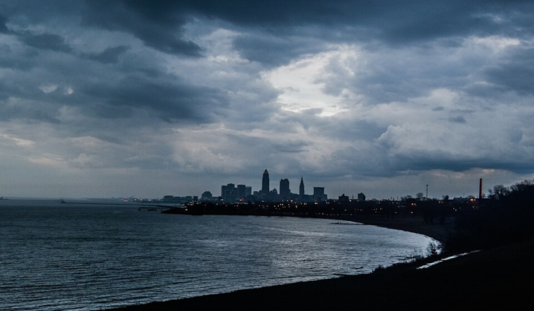
The National Weather Service in Cleveland has issued a forecast discussing an upper-level low tracking northward from the Mid-Mississippi Valley into the Ohio River Valley, which is expected to bring unsettled weather through the middle of the week. The NWS Cleveland's morning update held no surprises, maintaining the forecast of quiet morning conditions ahead of increasing clouds and rain showers set to roll in by this evening, according to their Area Forecast Discussion.
Residents of central and northern Ohio, including northwest Pennsylvania, should enjoy the vestiges of fair weather and 'filtered sun' most of the day before preparing for a paradigm shift, the dry spell set to give way to rain showers and a slight chance for thunderstorms come late afternoon or early evening, meanwhile high temperatures ranging from the mid to upper 70s are expected, "High temperatures will range from the middle 70s near central Ohio and the upper 70s to around 80 degrees for northern Ohio and northwest Pennsylvania," says the NWS discussion forecast.
As the workweek presses on, the rains are not forecast to relent: the likelihood of precipitation remains high into Tuesday, with scattered showers and the potential for a couple of thunderstorms, although for now, it seems severe weather is not on the cards. The forecast anticipates a quarter of an inch of rainfall through Tuesday afternoon, with temperatures taking a slight dip compared to Monday. Tuesday, we will see high temperatures ranging from the upper 60s over NWPA to the lower and middle 70s over NEOH and NWOH.
Looking further ahead, the short term forecast is hinting at scattered storms continuing through mid-week with a slight chance for isolated strong storms that could produce gusty winds and small hail, though the overall environment is not anticipated to support more severe weather threats, despite the upper level low evolving into an upper trough overhead, "Minimal bulk layer shear in place so not anticipating a severe weather threat with the mid-week system," the NWS Cleveland forecast elaborated. Thursday, however, might offer a brief respite as an upper-level ridge builds over the Ohio Valley, promising a drier start to the day before returning to a pattern of isolated thunderstorms by afternoon.
For mariners on Lake Erie, the high pressure that's been a staple is heading out, with southeasterly winds taking over, these conditions expected to persist all the way through to Thursday night, after which, come Friday, a cold front sweeping across the lake might kick up winds further in a southwesterly to westerly direction, suggests the NWS marine forecast. For those with weekend plans, it seems wise to be prepared for a continuation of breezy conditions—consider this a heads-up, captains.


.jpg)