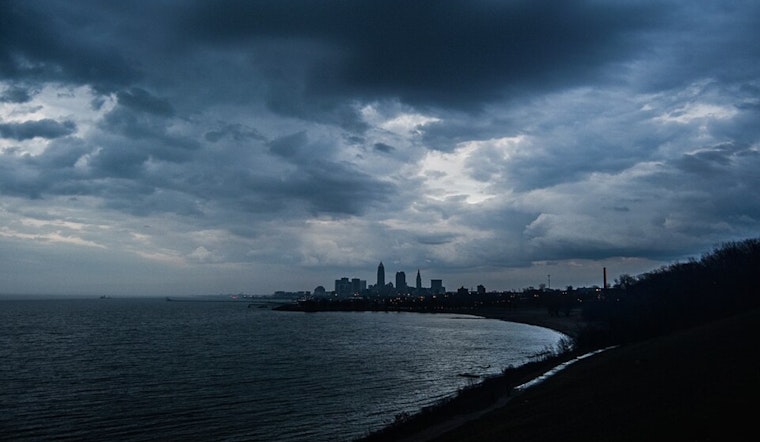
Residents of Cleveland and the surrounding areas are seeing a mixed bag of weather today, with overcast skies currently dominating the region. The National Weather Service in Cleveland has reported patchy fog and isolated showers along I-77 as a stationary front lingers over the area. According to their morning discussion, "We were largely rain-free for a bit, though a few isolated showers have started to pop up over the past hour or so east and along I-77."
While the region managed to dodge substantial precipitation earlier, high-resolution models indicate an impending increase in shower activity. The subtle mid-level shortwave trough approaching from the west brings a chance of lightning with any developing showers. Even though we've been socked in, the latest mesoanalysis suggests there is a slight instability, and the discussion notes hint at the potential for slight thunderstorm activity.
As we head into the afternoon and evening, Cleveland could witness a rerun of yesterday’s weakly rotating storms that produced isolated wind damage along and east of I-71. Today’s forecast mirrors these conditions, with approximately 1000 J/kg of MUCAPE and about 25 knots of deep-layer shear, parameters that are marginally supportive of isolated severe weather events. Looking ahead, the gloomy weather will give way to clearer skies as high pressure builds from the north, pushing the troublesome front southward and marking the end of precipitation heading into Saturday.
In their short-term outlook, the National Weather Service describes the expectations for the weekend as follows: "A shortwave and associated weak surface reflection will lift east-northeast out of the Ohio Valley and across the local area Saturday night and Sunday, lifting the stalled front back north as a warm front." This shift will bring back higher humidity and shower potential for the latter part of the weekend. However, the threat of severe weather remains on the lower side due to modest instability levels expected.
Fluctuating conditions will also challenge pilots, as aviation forecasts indicate a variable range from MVFR to LIFR due to overcast skies and scattered showers. While most areas might enjoy VFR conditions for some time this afternoon, the anticipation of non-VFR conditions overnight is accompanied by uncertainty.
Boaters on Lake Erie will enjoy mild conditions, with northeasterly flow shifting more northerly but remaining under 15 knots. "A warm front will lift across the lake on Sunday," states NWS Cleveland's marine report, prompting wind directions and speeds to vary into early next week without breaching small craft advisory levels. While the lake may witness some thunderstorm activity today, greater chances of storms are predicted for Sunday through Tuesday.


.jpg)