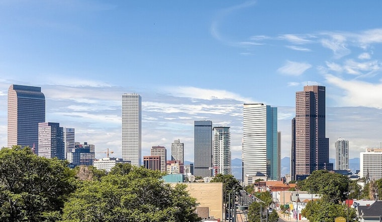
Residents in Denver should brace for a shift in weather as they can expect sunny skies with an anticipated high reaching up to 88 degrees today, following conditions of a few clouds and a 58°F temperature recorded early this morning. According to the National Weather Service, calm winds shifting east-southeast at 5 to 8 mph will be a part of the day's forecast. The evening plans to cool down to a mostly clear low around 61 degrees, with winds potentially gusting as high as 17 mph.
As Denver heats up in the weekend forecast, Friday is set to sizzle with a high near 91 degrees and light winds becoming south at 5 to 8 mph. Unfortunately, Denverites intending to enjoy the warm weather will have to quickly make plans as the conditions are ripe for isolated strong to severe storms, casting a small shadow of uncertainty over outdoor activities.
According to an alert from the National Weather Service, there's a hazardous weather outlook in effect, with potential thunderstorms anticipated to develop later today along the Front Range mountains and I-25 corridor, potentially leading to localized flooding, particularly in eastern areas. The Denver area also faces an air quality issue, with an Ozone Action Day Alert issued by the Colorado Department of Public Health and Environment effective from Wednesday afternoon through Thursday due to hot and stagnant conditions.
Looking further ahead, Denver's weekend weather promises mostly sunny skies, with a high near 94 on Saturday. Yet to these warm conditions add the daily chance of scattered showers and thunderstorms through the following Tuesday. The Colorado Department of Public Health and Environment warns that during this time, ozone may reach levels that are Unhealthy for Sensitive Groups, advising residents that an increased likelihood of respiratory symptoms and breathing discomfort in active children and adults and people with lung disease, such as asthma, is expected. They recommend that susceptible individuals reduce heavy outdoor exertion.


