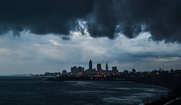
The National Weather Service in Cleveland has forecasted a dynamic weather pattern for Northeast Ohio and Northwest Pennsylvania, with the region preparing for a mix of rain and potentially severe storms early this week. On Sunday, parts of the area are set to see periods of rain, though not consistently enough to be an all-day event. "Most of the area will see some rain at some point today," the NWS Cleveland report revealed.
Temperatures on Sunday are expected to hover in the low to mid 70s with increasing moisture, with dew points climbing into the 60s. The night could bring lows around the 60-degree mark, and patchy fog may develop in areas where skies clear sufficiently. The forecast indicates that a warm front will be pushing into the area from the southwest, bringing with it a damaging wind potential, particularly farther east where the front's timing lines up with peak afternoon heating.
As Monday rolls in, an approaching cold front is predicted to sweep across the region. The weather service warns of increased chances for showers and thunderstorms, "with increasing confidence in thunderstorms and some potential for severe weather/locally heavy rain farther east across the area," according to the NWS Cleveland. In terms of temperatures, highs for Monday are projected in the low to mid 70s, with possible warmer spots near Toledo and Youngstown. There's talk of damaging winds being the primary threat, along with the possibility of hail and isolated tornadoes.
Looking beyond into the midweek, high pressure is set to build across the Ohio Valley. This shift might offer a brief reprieve with drier weather anticipated for Wednesday. However, come Thursday, residents should brace for increasing chances of precipitation as a front begins to sag south towards the local area. With this change, there's a slight risk for excessive rainfall, notably in Northeast Ohio and Northwest PA, for the beginning of the week. "Localized rain amounts of over 2 inches could occur with training convection," the NWS Cleveland noted, potentially leading to isolated flash flooding scenarios.
Marine conditions on Lake Erie are set to be relatively calm outside of the thunderstorm activity, with winds not exceeding 15 knots. As the week progresses and the high pressure asserts itself, the winds are expected to stay primarily southwesterly. Boaters, however, should be wary of storm-driven changes to winds and wave heights.


.jpg)