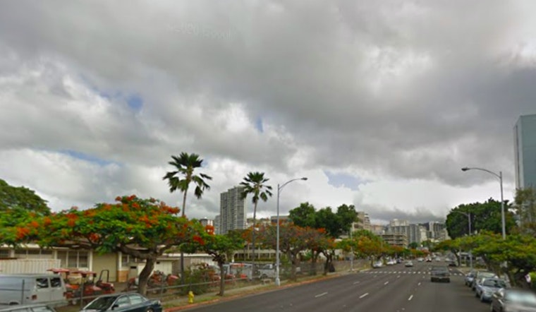
Honolulu residents can expect a gradual change in the wind and rain patterns over the coming days, according to the latest from the National Weather Service. The strong trade winds we've been experiencing are set to weaken with moderate trades on the horizon by midweek. For those looking to stay dry, windward and mauka areas will see the bulk of the showers, which are forecasted to remain light.
The current conditions show a spread of cloud cover and sporadic showers making their way across the islands, with some upper-level clouds "streaming overhead during to a upper level low to the west," the National Weather Service said. Kauai may find itself subject to an increased shower activity late Monday into Tuesday as a weak upper-level trough passes by. This instability, primarily near Kauai, may lead to some moderate rainfall, although it seems the rest of the state will likely endure lighter, passing showers.
As for the aviation outlook, breezy trades will carry on through today and are expected to slowly decrease as we reach the middle of the week. Areas on the windward side and higher elevations will see the majority of showers, with minimal impact anticipated on leeward locales. Pilots should anticipate mostly visual flight rules (VFR), though pockets of marginal VFR conditions (MVFR) could occur in areas of heavier showers. "AIRMET Sierra is in effect for windward portions of all islands," the National Weather Service reports, predicting improvements in the morning hours.
Mariners aren't left out of the loop, with moderate to locally strong trade winds driving conditions at sea through tonight, before they start to weaken. Consequently, a Small Craft Advisory has been issued, scaled back to include only the more turbulent waters around Maui County and the Big Island through tonight. Surf conditions are mixed, with the south shores seeing a moderate, long period swell that's expected to peak on Tuesday, and east facing shores maintaining rough conditions. "Peak high tides associated with the lunar cycle will lead to minor coastal flooding along shorelines and low lying coastal areas through Thursday," the National Weather Service cautions, while also noting the added impact from the ongoing south swell.
To stay updated on any further watches, warnings, or advisories, keep an eye on the National Weather Service Honolulu forecast. Whether on land, in the air, or at sea, plan ahead and remain aware as the islands' weather shifts in the days ahead.


