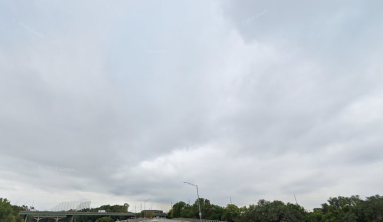
The National Weather Service in Indianapolis issued a forecast alerting residents of scattered rain and isolated showers today, with thunderstorms possible after 4 p.m. Temperatures are expected to reach a high near 83 degrees, with humidity lingering around a clammy 91%. Heading into the night, the forecast anticipates mostly cloudy conditions and a drop to 66 degrees.
Looking ahead to Monday, the threat of wet weather continues with a slight chance of showers and thunderstorms in the afternoon, bumping up the chance of precipitation to 20%. While thunderstorms could roll in after 8 p.m., the evening is expected to remain mostly cloudy, preserving the same mild chances for precipitation.
As residents hustle into midweek routines, Tuesday escalates with a higher threat level, placing around a 30% chance of showers and thunderstorms in the forecast. The temperature is also set to climb, nearing the high 80s. It won't be until Wednesday that Indianapolis will see a significant spike in storm activity, jumping to an ominous 80% likelihood of showers and possibly a thunderstorm in the afternoon and night. According to the National Weather Service Indianapolis, with the likelihood of showers and thunderstorms continuing, gusty winds could get as high as 20 to 22 mph.
For the upcoming Juneteenth holiday, while the celebratory spirit will remain buoyant, the skies may not be as supportive. The forecast projects a 30 percent chance of showers and thunderstorms, mainly after 2pm, providing only a partly sunny ambiance. As the week rounds out toward the weekend, high temperatures are expected to soar into the 90s, offering sunny skies and a welcome break from the earlier tumultuous weather.
The outlook for hazardous weather issued warns of potential lightning, heavy rainfall, and localized flooding given the predicted conditions. However, spotter activation doesn't seem to be on the horizon until midweek. While the primary threats remain common for this time of year, the weather service advises to stay vigilant and prepared. "Spotter activation is not anticipated through Tuesday," but spotters are encouraged to watch out for changes, as the forecast indicates a more active weather pattern could unfold.


