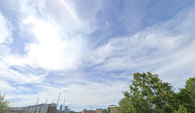
As the weekend kicks off in Indianapolis, residents can expect a mixed bag of weather conditions, with the National Weather Service reporting scattered showers and thunderstorms primarily before 11 a.m. today. According to the forecast, the skies will remain mostly cloudy with the temperature reaching a high near 88 degrees and a calm west southwest wind blowing at a speed of 3 to 8 mph.
Isolated to scattered thunderstorms are expected to persist, mainly through early evening. Some of these might bring about gusty winds and small hail. A familiar duo, lightning and heavy rain, continue to dance together, posing usual threats for any outdoor plans you might hinge on this uncertain weather. Transitioning into the night, the NWS anticipates a partly cloudy sky, with lows hovering around 71 degrees and a gentle south southwest breeze.
Looking ahead to Sunday, the area should brace for more scattered showers and thunderstorms, which are most likely after 2 p.m., post a forecasted morning fog that should clear by 8 a.m. The start of the week doesn't promise much change, with a 90% chance of precipitation on Monday—a day expected to bring showers and possibly a thunderstorm. With a high near 86 degrees and southwest winds from 6 to 8 mph, those looking to venture out may want to pack an umbrella.
But the weather gods look to be in a better mood as Tuesday rolls around, blessing Indianapolis with sunny skies and a welcoming high near 85 degrees. Winds will keep humble, blowing northwest at 3 to 6 mph. Anyone laying bets on better weather will collect their winnings, mostly clear skies with a low around 67 degrees, with a west northwest wind subtle enough just to kiss the night, turning calm by the evening.
A hazardous weather outlook issued by the NWS also remains in effect. "Daily chances for thunderstorms continue for part or all of the region through Monday night. Storms should mainly be focused during the afternoon to early evening hours," the outlook states, flagging the potential for isolated strong to severe storms each day. Although large-scale spotter activation is not anticipated, the agency encourages spotters to report any hail, strong wind gusts, or localized flooding observed through the early part of next week.
The weekend weather in Indianapolis may well be akin to rolling dice, fraught with unpredictable thunderstorms and clearing signs alike. Residents and visitors should stay tuned to the latest updates and reports to help navigate through this atmospheric unpredictability.


